MyTopo
Rexville Texas US Topo Map
Couldn't load pickup availability
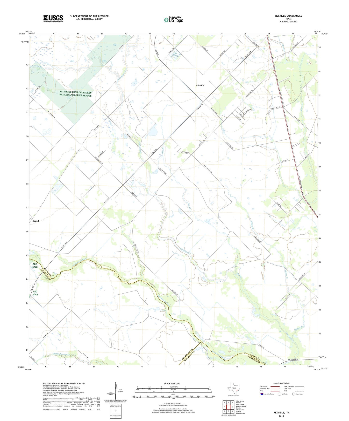
2019 topographic map quadrangle Rexville in the state of Texas. Scale: 1:24000. Based on the newly updated USGS 7.5' US Topo map series, this map is in the following counties: Austin, Colorado, Wharton. The map contains contour data, water features, and other items you are used to seeing on USGS maps, but also has updated roads and other features. This is the next generation of topographic maps. Printed on high-quality waterproof paper with UV fade-resistant inks.
Quads adjacent to this one:
West: Eagle Lake NE
Northwest: Cat Spring
North: Sealy
Northeast: San Felipe
East: Wallis
Southeast: East Bernard
South: Lissie
Southwest: Eagle Lake
Contains the following named places: Crooked Branch, Hog Branch, Lake Virnau, Little Bernard Creek, Rexville, Willow Branch