MyTopo
Romayor Texas US Topo Map
Couldn't load pickup availability
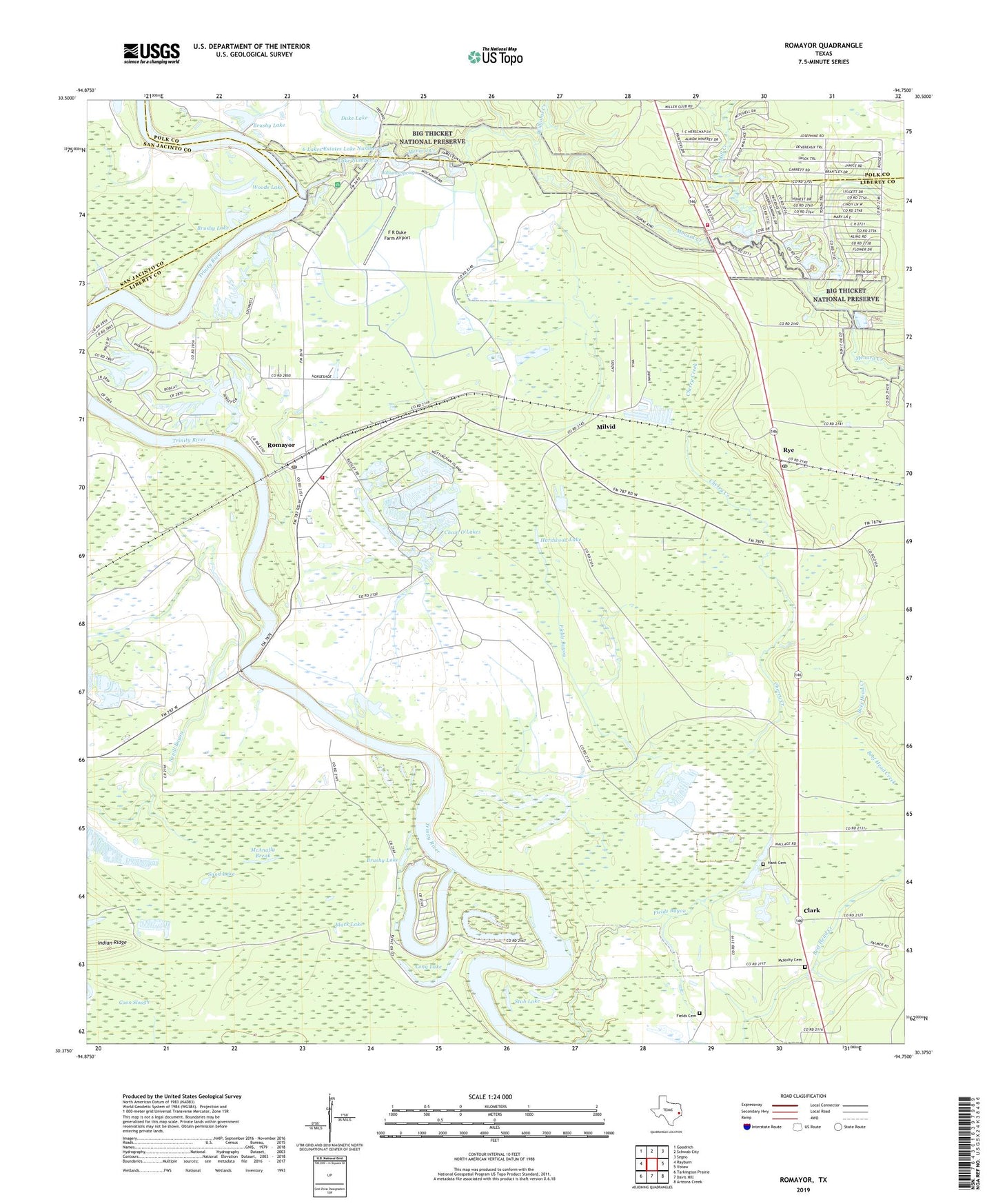
2022 topographic map quadrangle Romayor in the state of Texas. Scale: 1:24000. Based on the newly updated USGS 7.5' US Topo map series, this map is in the following counties: Liberty, Polk, San Jacinto. The map contains contour data, water features, and other items you are used to seeing on USGS maps, but also has updated roads and other features. This is the next generation of topographic maps. Printed on high-quality waterproof paper with UV fade-resistant inks.
Quads adjacent to this one:
West: Rayburn
Northwest: Goodrich
North: Schwab City
Northeast: Segno
East: Votaw
Southeast: Arizona Creek
South: Davis Hill
Southwest: Tarkington Prairie
This map covers the same area as the classic USGS quad with code o30094d7.
Contains the following named places: 6 Lakes Estates Lake Number 3 Dam, 6 Lakes Estates Lake Number 4 Dam, 6 Lakes Estates Lake Number 5, 6 Lakes Estates Lake Number 5 Dam, 77368, Bearfoot Lake, Bearfoot Lake Dam, Big Creek, Big Greek Station, Big Thicket Creekmore Village, Big Thicket Lake Estates Census Designated Place, Big Thicket Lake Estates Volunteer Fire Department, Big Thicket Menard Creek, Black Lake, Brushy Lake, Chain O'Lakes, Cherry Creek, Clark, Concord Church, Coon Slough, Duke Lake, Duke Lake Dam, F R Duke Farm Airport, Fields Bayou, Fields Cemetery, Green Chapel, Hank Cemetery, Hardwood Lake, Horn Crossing Church, Horseshoe Lake, Indian Ridge, Lake Number 3, Lake Number 4, Long Lake, Lost Lake, Marvels, Mason Lake, Mason Lake Estates, McAnally Break, McNulty Family Cemetery, Menard Creek, Mill Creek, Milvid, Nevill Bayou, New River Lake, North Liberty County Fire Department, Oneal Lake, Oneal Lake Dam, Pond 1 Dam, Rebekah Church, Romayor, Romayor Post Office, Rye, Rye Post Office, Sand Lake, Stub Lake, Ward Prairie Lakes, White Roselake, Williams Creek, Williams Spring, Woods Lake