MyTopo
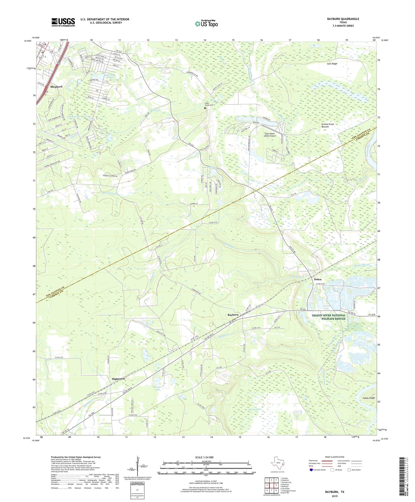
Rayburn Texas US Topo Map
Couldn't load pickup availability
Also explore the Rayburn Forest Service Topo of this same quad for updated USFS data
2022 topographic map quadrangle Rayburn in the state of Texas. Scale: 1:24000. Based on the newly updated USGS 7.5' US Topo map series, this map is in the following counties: Liberty, San Jacinto. The map contains contour data, water features, and other items you are used to seeing on USGS maps, but also has updated roads and other features. This is the next generation of topographic maps. Printed on high-quality waterproof paper with UV fade-resistant inks.
Quads adjacent to this one:
West: Westcott
Northwest: Camilla
North: Goodrich
Northeast: Schwab City
East: Romayor
Southeast: Davis Hill
South: Tarkington Prairie
Southwest: Cleveland
This map covers the same area as the classic USGS quad with code o30094d8.
Contains the following named places: Big Creek, Boones Lake, Bryants Marsh, Cain Ridge, Calvary Church, Cherry Creek, Cockrans, Coley Creek, Coley Creek Cemetery, Davison Bayou, Dolen, Dolen School, Dry Cherry Creek, Grama Grass Bottom, Hightower, Lake Run-A-Muck, Lake Run-A-Muck Dam, Lake Tejas, Lake Tejas Dam, Lake Water Wheel, Lake Water Wheel Airport, Legacy Emergency Medical Services, Little Flock Church, Magnolia Grove Church, Mussel Shoals, Palmer Lake, Phillips Creek, Ragley Spring, Rayburn, Rayburn Church, San Jacinto County Constable's Office Precinct 2, Shepherd, Shepherd City Hall, Shepherd Post Office, Shepherd Volunteer Fire Department, Smith Break, Smith Lake, Strington, Water Wheels Lake Number 1, Water Wheels Lake Number 1 Dam, Water Wheels Lake Number 2, Water Wheels Lake Number 2 Dam, Winters Bayou, ZIP Code: 77371