MyTopo
Rosanky Texas US Topo Map
Couldn't load pickup availability
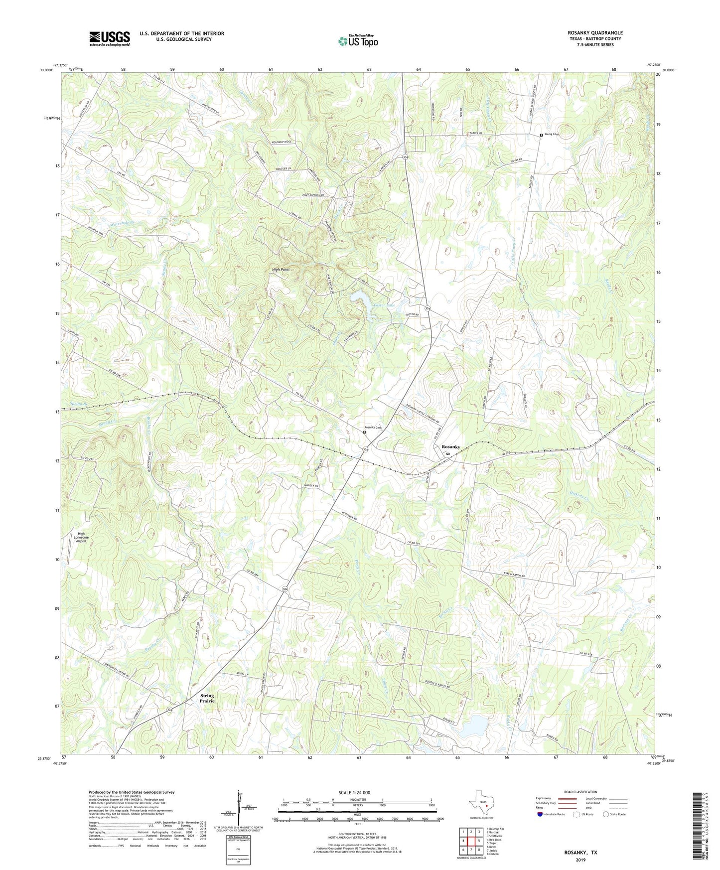
2022 topographic map quadrangle Rosanky in the state of Texas. Scale: 1:24000. Based on the newly updated USGS 7.5' US Topo map series, this map is in the following counties: Bastrop. The map contains contour data, water features, and other items you are used to seeing on USGS maps, but also has updated roads and other features. This is the next generation of topographic maps. Printed on high-quality waterproof paper with UV fade-resistant inks.
Quads adjacent to this one:
West: Red Rock
Northwest: Bastrop SW
North: Bastrop
Northeast: Smithville
East: Togo
Southeast: Cistern
South: Jeddo
Southwest: Delhi
This map covers the same area as the classic USGS quad with code o29097h3.
Contains the following named places: Brushy Creek, Central Texas Museum of Automotive History, Double D Ranch Airport, Foster Lake, Foster Lake Dam, High Lonesome Airport, High Point, Jordan, Rosanky, Rosanky Cemetery, Rosanky Census Designated Place, Rosanky Post Office, Saint Marys Church, Spring Branch, String Prairie, Waterhole Branch, Willman, Young Cemetery