MyTopo
Indian Tank Texas US Topo Map
Couldn't load pickup availability
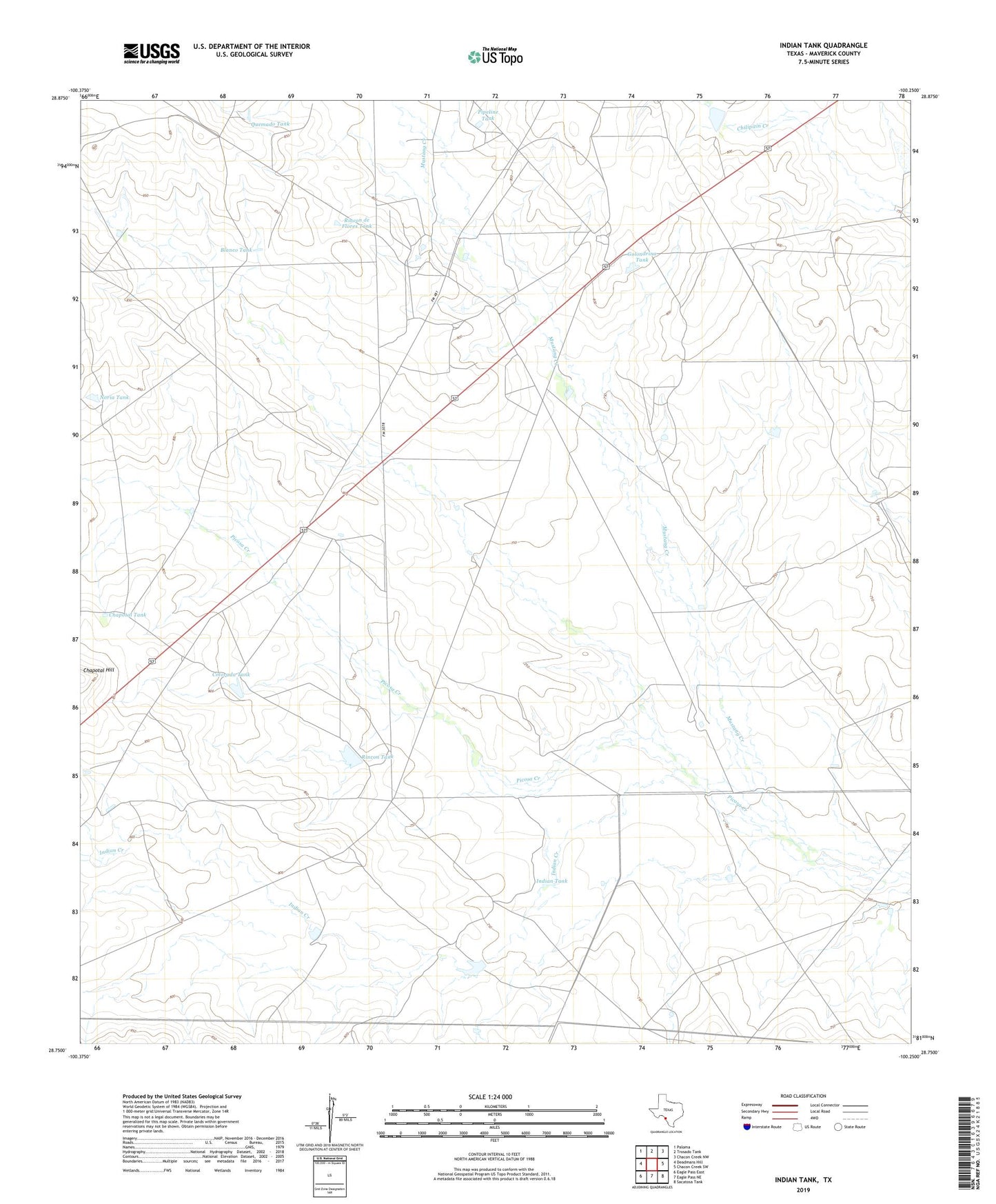
2022 topographic map quadrangle Indian Tank in the state of Texas. Scale: 1:24000. Based on the newly updated USGS 7.5' US Topo map series, this map is in the following counties: Maverick. The map contains contour data, water features, and other items you are used to seeing on USGS maps, but also has updated roads and other features. This is the next generation of topographic maps. Printed on high-quality waterproof paper with UV fade-resistant inks.
Quads adjacent to this one:
West: Deadmans Hill
Northwest: Paloma
North: Trosado Tank
Northeast: Chacon Creek NW
East: Chacon Creek SW
Southeast: Sacatosa Tank
South: Eagle Pass NE
Southwest: Eagle Pass East
This map covers the same area as the classic USGS quad with code o28100g3.
Contains the following named places: Blanco Tank, Chapotal Tank, Chittim Gas Field, Colorada Tank, Golondrina Tank, Huellas Tank, Indian Creek, Indian Tank, Mustang Creek, Noria Tank, Pipeline Tank, Quemado Tank, Rincon de Flores Tank, Rincon Tank, United States Border Patrol Checkpoint