MyTopo
Saint Charles Bay SE Texas US Topo Map
Couldn't load pickup availability
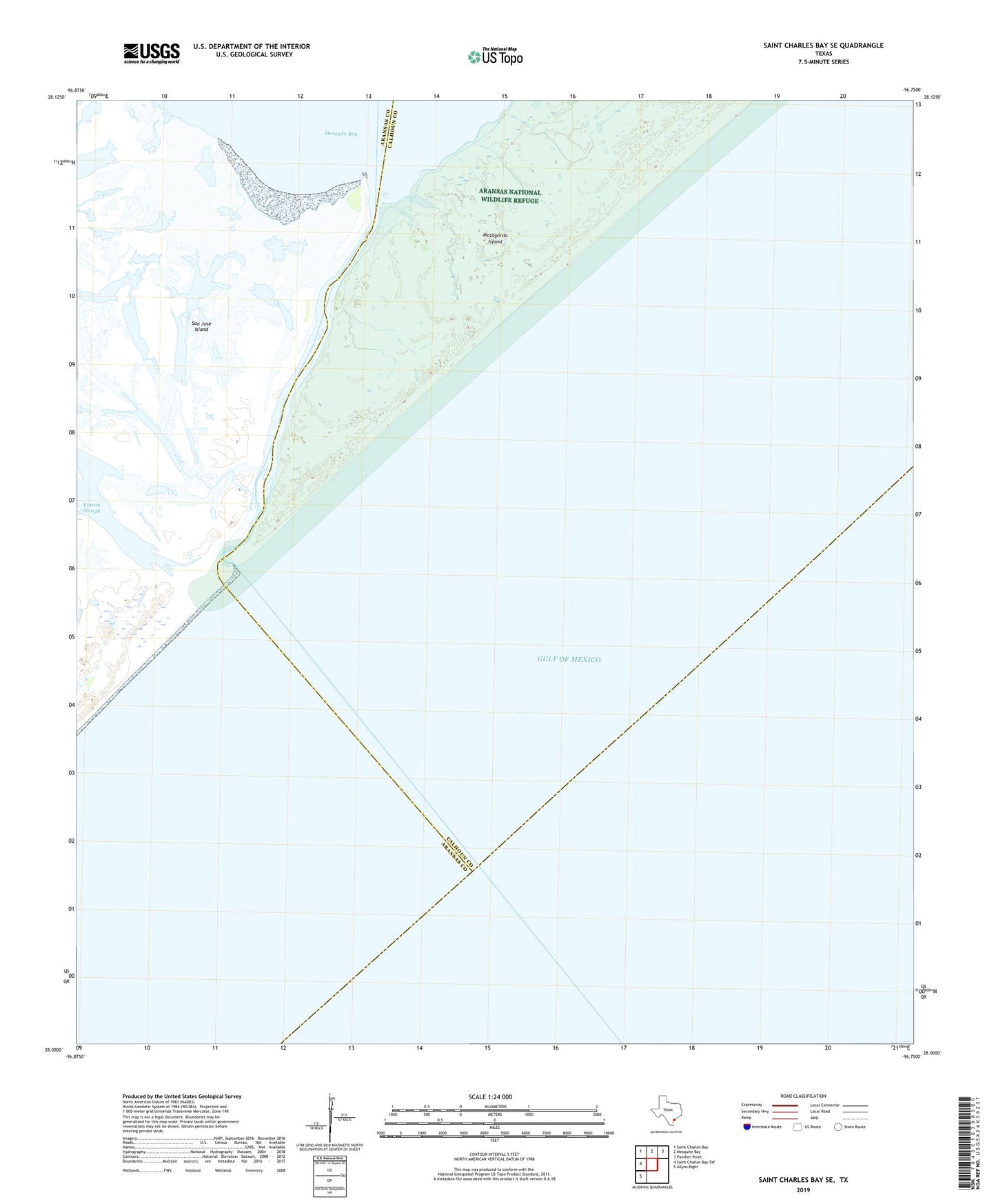
2025 topographic map quadrangle Saint Charles Bay SE in the state of Texas. Scale: 1:24000. Based on the newly updated USGS 7.5' US Topo map series, this map is in the following counties: Aransas, Calhoun. The map contains contour data, water features, and other items you are used to seeing on USGS maps, but also has updated roads and other features. This is the next generation of topographic maps. Printed on high-quality waterproof paper with UV fade-resistant inks.
Quads adjacent to this one:
West: Saint Charles Bay SW
Northwest: Saint Charles Bay
North: Mesquite Bay
Northeast: Panther Point
Southwest: Allyns Bight
This map covers the same area as the classic USGS quad with code o28096a7.
Contains the following named places: Aransas National Wildlife Refuge Airport, Cedar Bayou, Vinson Slough, Wynne Ranch