MyTopo
Saint Charles Bay SW Texas US Topo Map
Couldn't load pickup availability
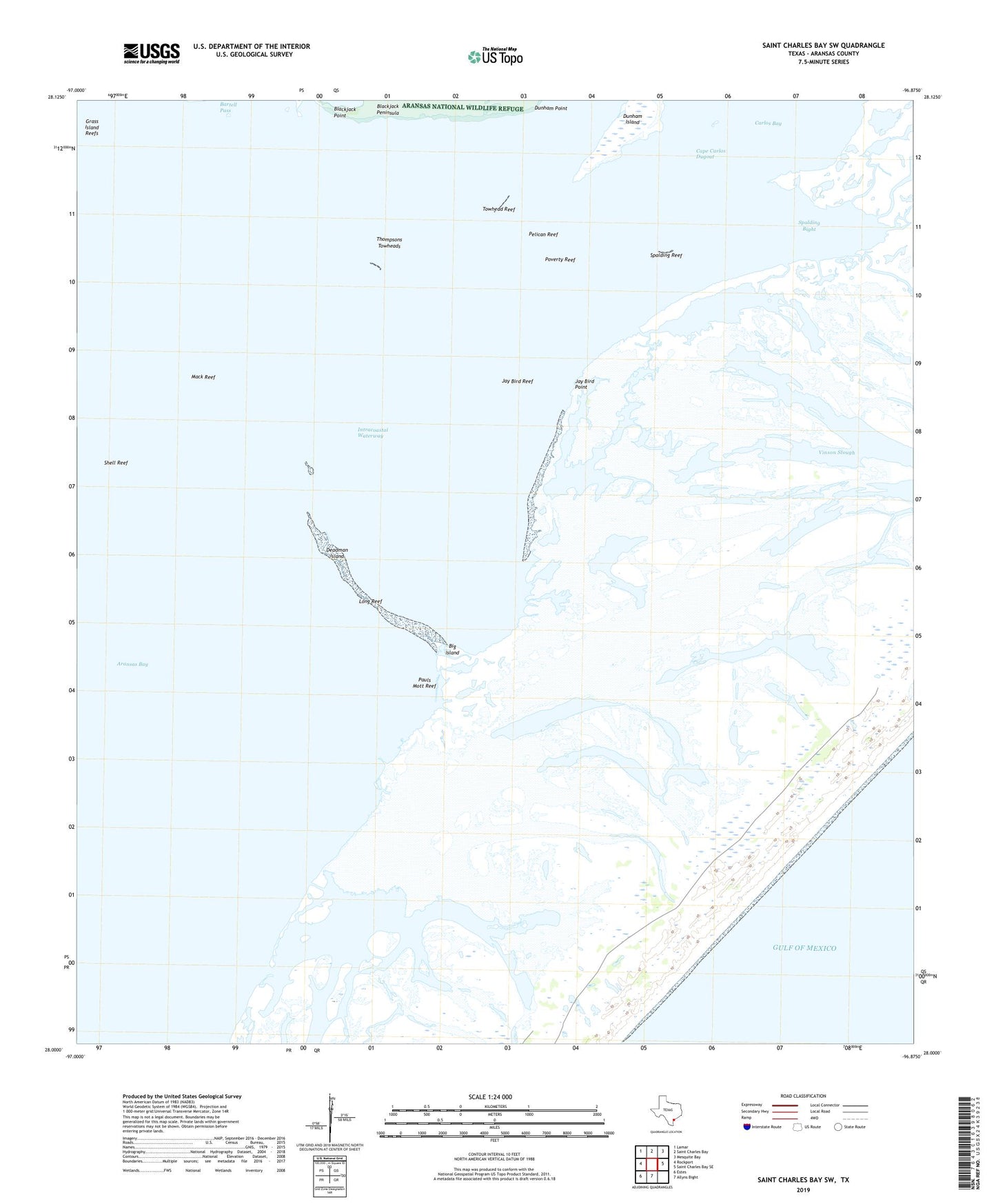
2019 topographic map quadrangle Saint Charles Bay SW in the state of Texas. Scale: 1:24000. Based on the newly updated USGS 7.5' US Topo map series, this map is in the following counties: Aransas. The map contains contour data, water features, and other items you are used to seeing on USGS maps, but also has updated roads and other features. This is the next generation of topographic maps. Printed on high-quality waterproof paper with UV fade-resistant inks.
Quads adjacent to this one:
West: Rockport
Northwest: Lamar
North: Saint Charles Bay
Northeast: Mesquite Bay
East: Saint Charles Bay SE
South: Allyns Bight
Southwest: Estes
Contains the following named places: Aransas Bay, Aransas County, Ballou Island, Big Island, Blackjack Peninsula, Blackjack Point, Cape Carlos Dugout, Deadman Island, Dunham Island, Dunham Point, Fulton Division, Jay Bird Point, Jay Bird Reef, Long Reef, Mack Reef, Pauls Mott, Pauls Mott Reef, Pelican Reef, Poverty Reef, San Jose Island, Shell Reef, Spalding Bight, Spalding Reef, Thompsons Towheads, Towhead Reef