MyTopo
Smoky Draw Texas US Topo Map
Couldn't load pickup availability
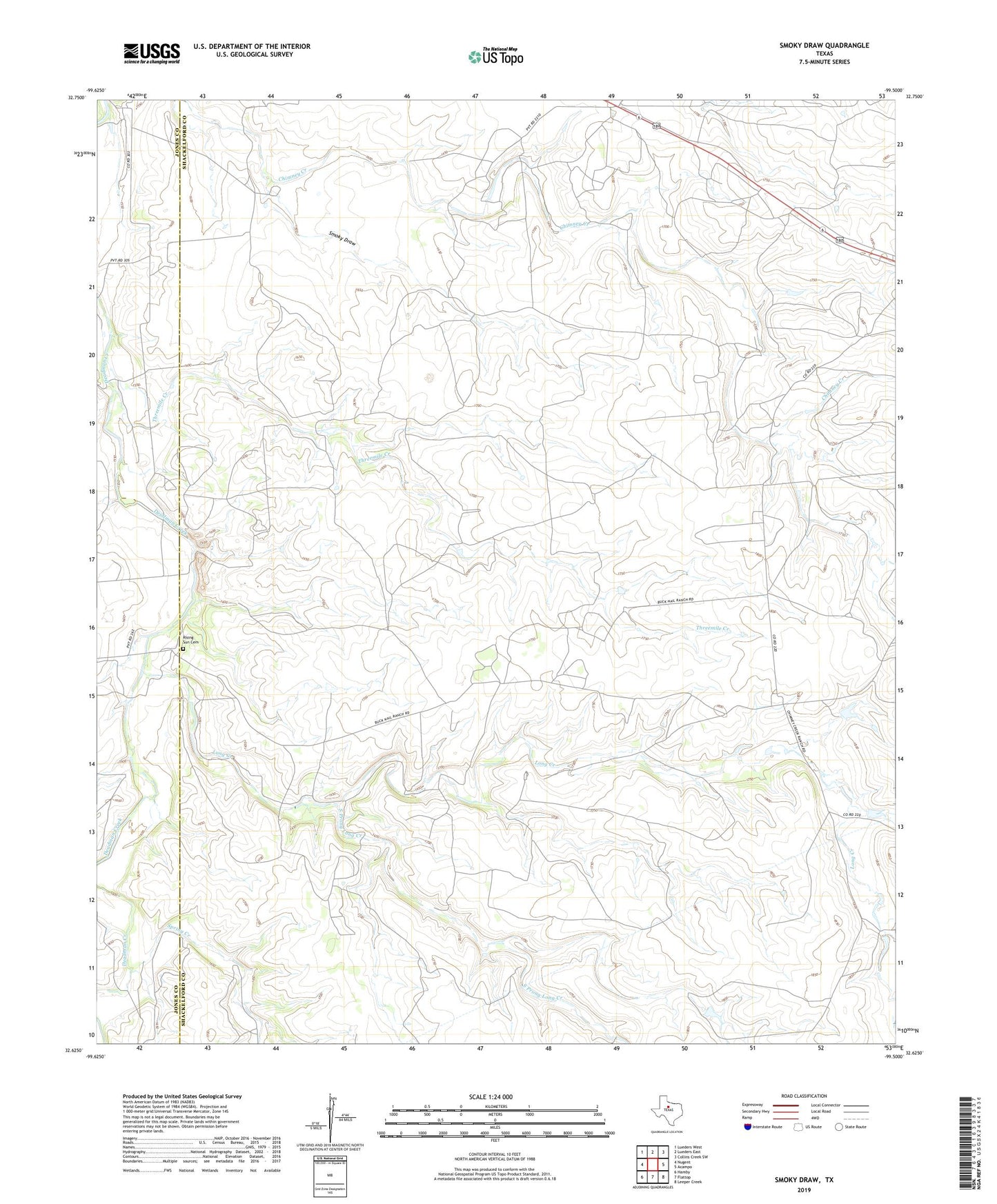
2022 topographic map quadrangle Smoky Draw in the state of Texas. Scale: 1:24000. Based on the newly updated USGS 7.5' US Topo map series, this map is in the following counties: Shackelford, Jones. The map contains contour data, water features, and other items you are used to seeing on USGS maps, but also has updated roads and other features. This is the next generation of topographic maps. Printed on high-quality waterproof paper with UV fade-resistant inks.
Quads adjacent to this one:
West: Nugent
Northwest: Lueders West
North: Lueders East
Northeast: Collins Creek SW
East: Acampo
Southeast: Leeper Creek
South: Flattop
Southwest: Hamby
This map covers the same area as the classic USGS quad with code o32099f5.
Contains the following named places: Ackers Ranch, Buck Nail Ranch, Bud Matthews, Chimney Creek Ranch, Long Creek, Matilda Perkins Oil Field, Rising Sun Cemetery, Smoky Draw, South Prong Long Creek, Spring Creek, Threemile Creek