MyTopo
Sotol Hill Texas US Topo Map
Couldn't load pickup availability
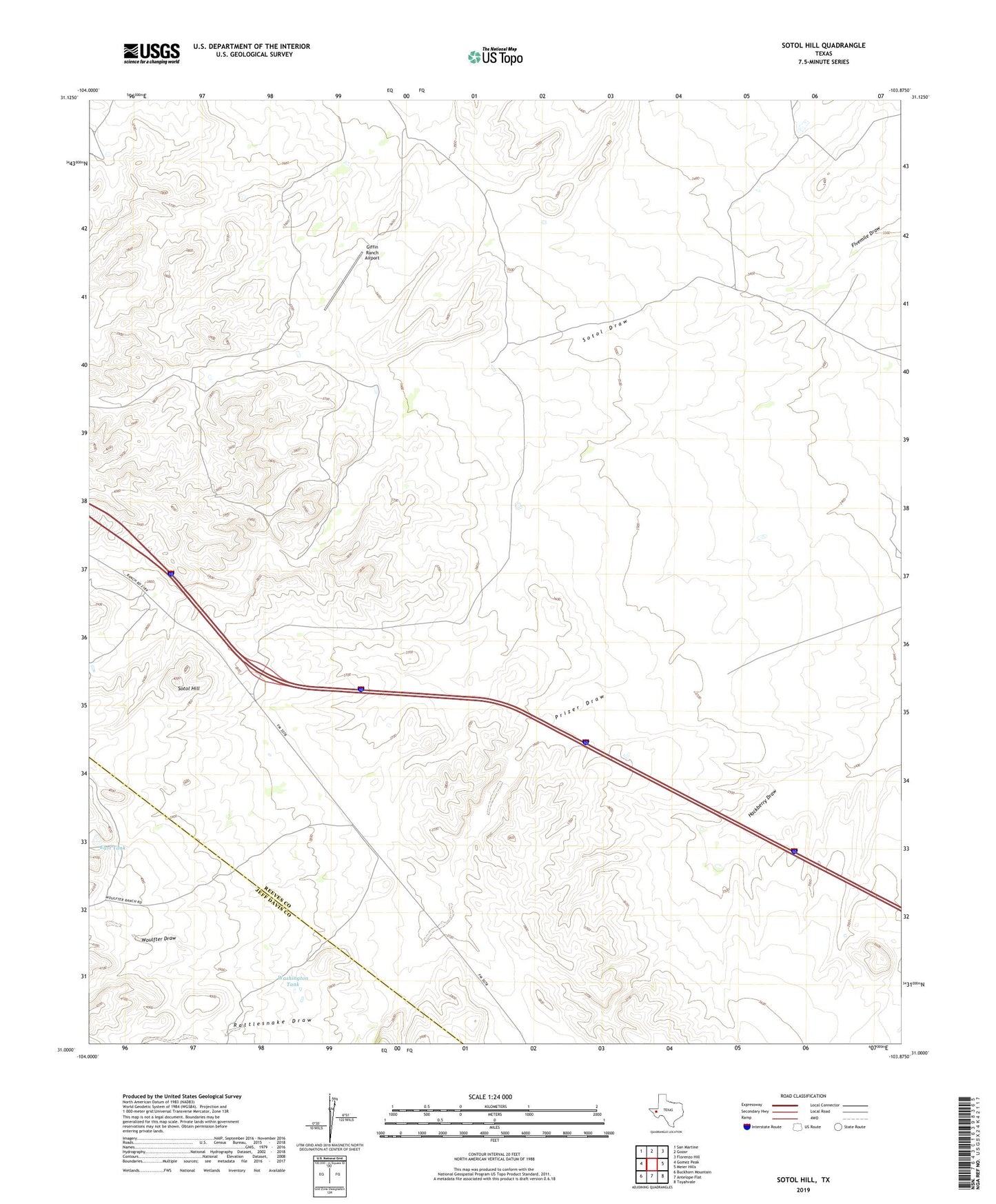
2022 topographic map quadrangle Sotol Hill in the state of Texas. Scale: 1:24000. Based on the newly updated USGS 7.5' US Topo map series, this map is in the following counties: Reeves, Jeff Davis. The map contains contour data, water features, and other items you are used to seeing on USGS maps, but also has updated roads and other features. This is the next generation of topographic maps. Printed on high-quality waterproof paper with UV fade-resistant inks.
Quads adjacent to this one:
West: Gomez Peak
Northwest: San Martine
North: Gozar
Northeast: Florenzo Hill
East: Meier Hills
Southeast: Toyahvale
South: Antelope Flat
Southwest: Buckhorn Mountain
This map covers the same area as the classic USGS quad with code o31103a8.
Contains the following named places: Canyon Windmill, Deferred Pasture Windmill, East Tank, Five Section Windmill, Giffin Ranch Airport, Lethco Ranch, Lonheano Windmill, Oil Well Windmill, Rattlesnake Draw, Sotol Hill, Washington Tank, Woulfter Draw