MyTopo
Clear Creek Lake Texas US Topo Map
Couldn't load pickup availability
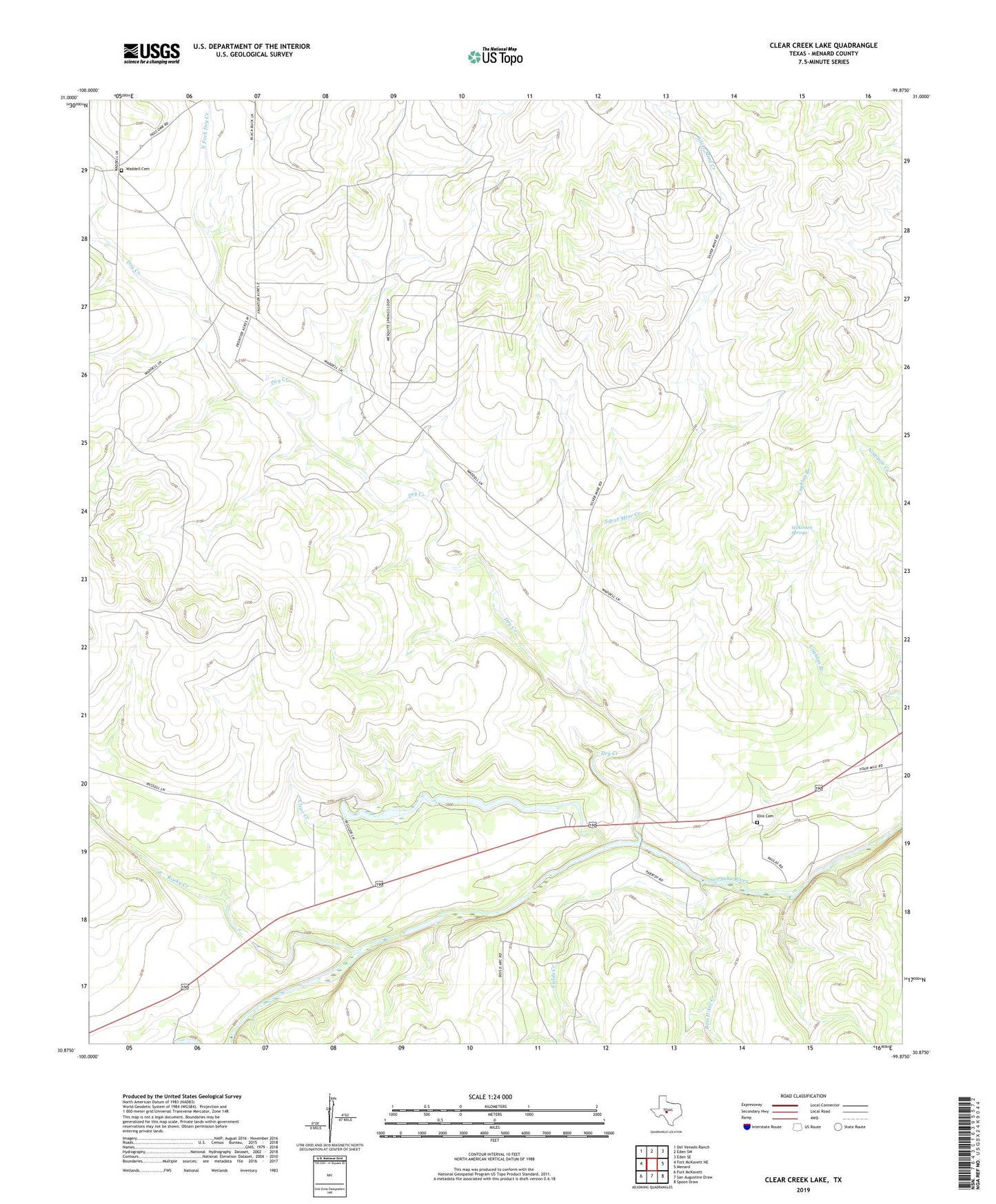
2022 topographic map quadrangle Clear Creek Lake in the state of Texas. Scale: 1:24000. Based on the newly updated USGS 7.5' US Topo map series, this map is in the following counties: Menard. The map contains contour data, water features, and other items you are used to seeing on USGS maps, but also has updated roads and other features. This is the next generation of topographic maps. Printed on high-quality waterproof paper with UV fade-resistant inks.
Quads adjacent to this one:
West: Fort McKavett NE
Northwest: Del Venado Ranch
North: Eden SW
Northeast: Eden SE
East: Menard
Southeast: Spoon Draw
South: San Augustine Draw
Southwest: Fort McKavett
This map covers the same area as the classic USGS quad with code o30099h8.
Contains the following named places: Beyer Crossing, Bois D'Arc Creek, Clear Creek, Clear Creek Lake, Clear Creek Lake Dam, Dry Creek, Ellis Cemetery, Fields Creek, Menard West Division, North Fork Dry Creek, Rocky Creek, Silver Mine Creek, Waddell Cemetery, Wilkinson Springs