MyTopo
Straddlebug Mountain Texas US Topo Map
Couldn't load pickup availability
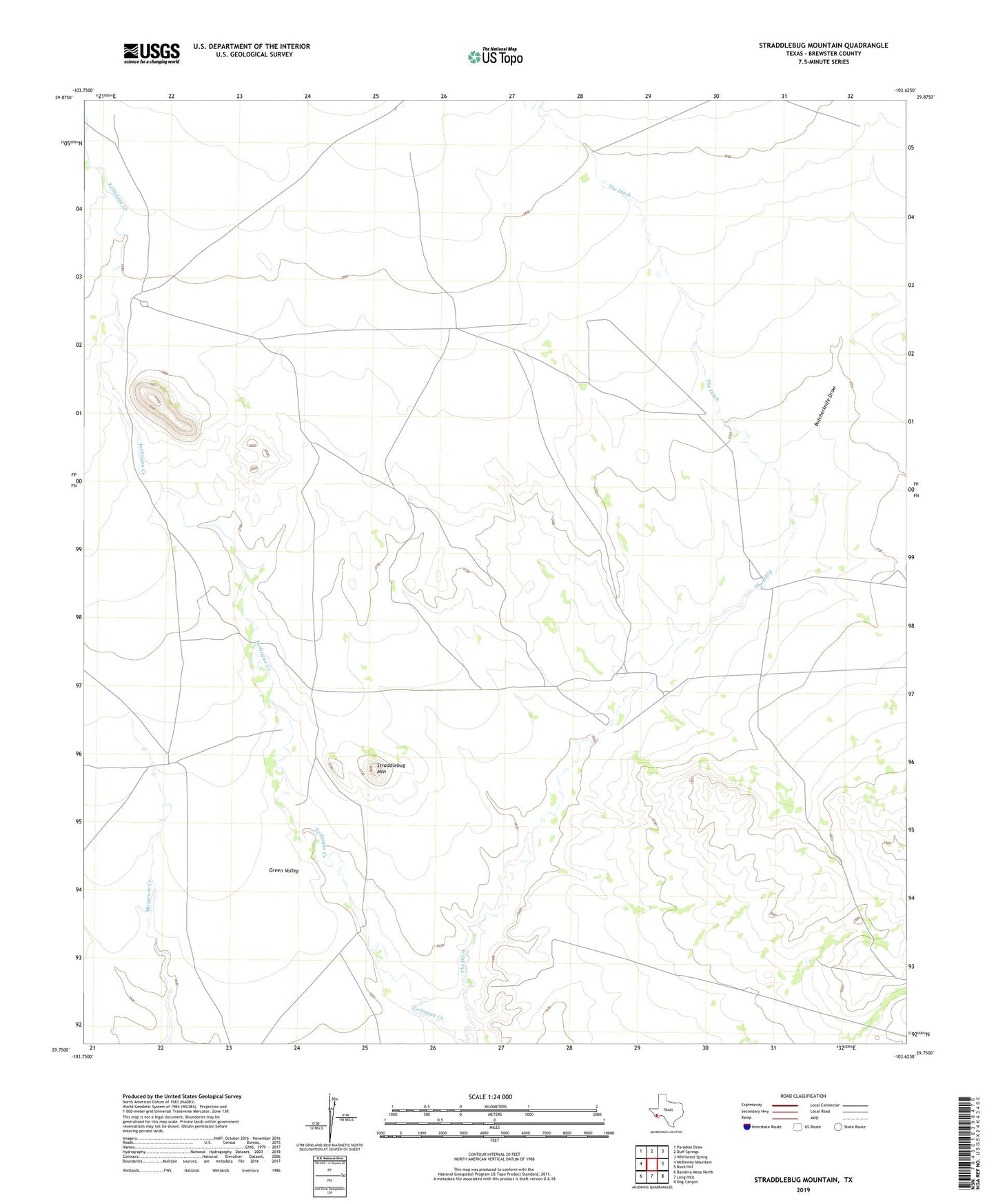
2022 topographic map quadrangle Straddlebug Mountain in the state of Texas. Scale: 1:24000. Based on the newly updated USGS 7.5' US Topo map series, this map is in the following counties: Brewster. The map contains contour data, water features, and other items you are used to seeing on USGS maps, but also has updated roads and other features. This is the next generation of topographic maps. Printed on high-quality waterproof paper with UV fade-resistant inks.
Quads adjacent to this one:
West: McKinney Mountain
Northwest: Paradise Draw
North: Duff Springs
Northeast: Whirlwind Spring
East: Buck Hill
Southeast: Dog Canyon
South: Long Hills
Southwest: Bandera Mesa North
This map covers the same area as the classic USGS quad with code o29103g6.
Contains the following named places: 02 Ranch Airport, Butcherknife Draw, Green Valley, Loy Place, O 2 Ranch, Plank House, Sid Place, Straddlebug Mountain, The Ditch, Wilsons Ranch