MyTopo
Sunshine Hill Texas US Topo Map
Couldn't load pickup availability
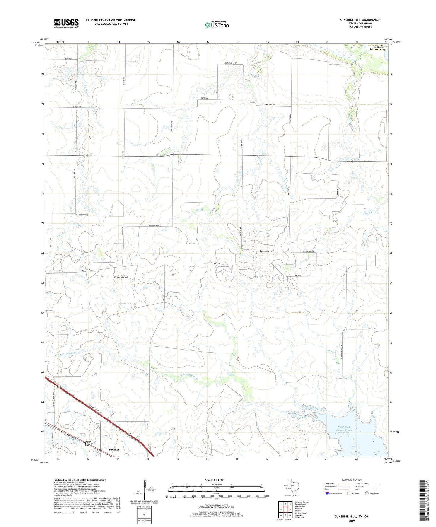
2019 topographic map quadrangle Sunshine Hill in the state of Texas. Scale: 1:24000. Based on the newly updated USGS 7.5' US Topo map series, this map is in the following counties: Wichita, Tillman. The map contains contour data, water features, and other items you are used to seeing on USGS maps, but also has updated roads and other features. This is the next generation of topographic maps. Printed on high-quality waterproof paper with UV fade-resistant inks.
Quads adjacent to this one:
West: Electra
Northwest: Cowboy Springs
North: Augar Creek
Northeast: Grandfield
East: Clara
Southeast: Iowa Park
South: Fowlkes
Southwest: Beaver Creek
Contains the following named places: Floral Mound, Long Creek, North Fork Buffalo Creek Reservoir, Short Creek, Sunshine Hill, Sunshine Hill Oil Field