MyTopo
Clara Texas US Topo Map
Couldn't load pickup availability
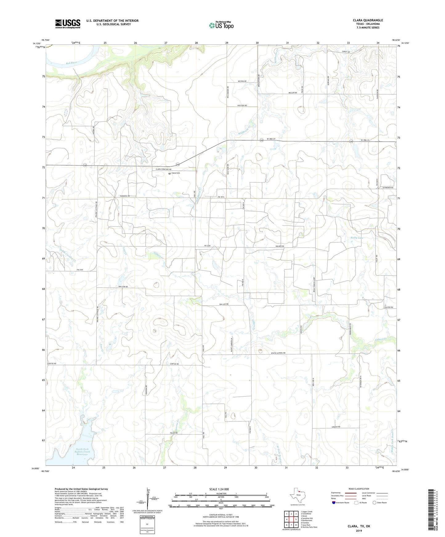
2022 topographic map quadrangle Clara in the state of Texas. Scale: 1:24000. Based on the newly updated USGS 7.5' US Topo map series, this map is in the following counties: Wichita, Tillman. The map contains contour data, water features, and other items you are used to seeing on USGS maps, but also has updated roads and other features. This is the next generation of topographic maps. Printed on high-quality waterproof paper with UV fade-resistant inks.
Quads adjacent to this one:
West: Sunshine Hill
Northwest: Augar Creek
North: Grandfield
Northeast: Devol
East: Burkburnett
Southeast: Wichita Falls West
South: Iowa Park
Southwest: Fowlkes
This map covers the same area as the classic USGS quad with code o34098a6.
Contains the following named places: Clara, Clara Cemetery, Clara Church, Clara Oil Field, Dickinson Lake, Dickinson Lake Dam, Kendall County Library System, Lost Creek, Reilly Lake, Reilly Lake Dam