MyTopo
Sweet Home Texas US Topo Map
Couldn't load pickup availability
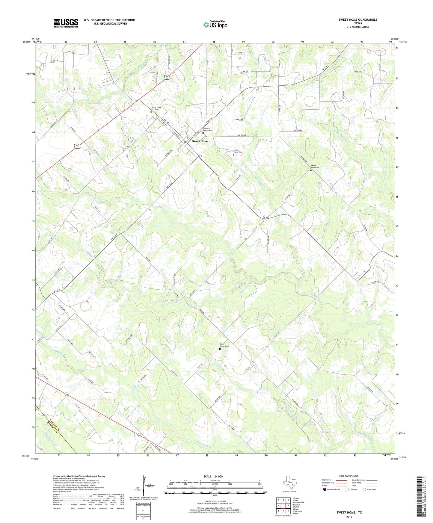
2022 topographic map quadrangle Sweet Home in the state of Texas. Scale: 1:24000. Based on the newly updated USGS 7.5' US Topo map series, this map is in the following counties: Lavaca, DeWitt. The map contains contour data, water features, and other items you are used to seeing on USGS maps, but also has updated roads and other features. This is the next generation of topographic maps. Printed on high-quality waterproof paper with UV fade-resistant inks.
Quads adjacent to this one:
West: Yoakum
Northwest: Shiner
North: Wied
Northeast: Hallettsville
East: Ezzell
Southeast: Hope
South: Terryville
Southwest: Edgar
This map covers the same area as the classic USGS quad with code o29097c1.
Contains the following named places: Burncamp Creek, Church of the Blessed Virgin Mary the Queen of Peace, Kelley Creek, North Fork Mustang Creek, Pilot Grove Branch, Pilot Grove Cemetery, Queen of Peace Cemetery, South Fork Mustang Creek, Sweet Home, Sweet Home Cemetery, Sweet Home City Cemetery, Sweet Home Post Office, Sweet Home Volunteer Fire Department, Yellow Bank Cemetery, ZIP Code: 77987