MyTopo
Tackett Mountain Texas US Topo Map
Couldn't load pickup availability
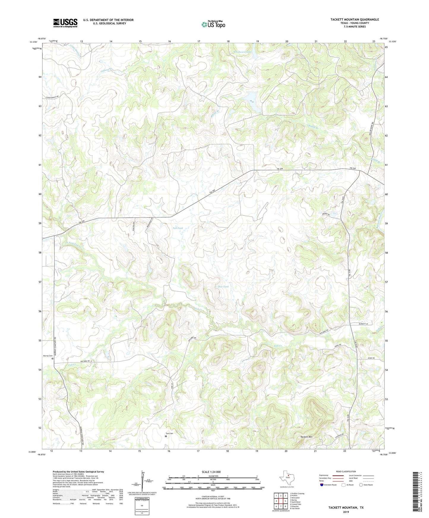
2022 topographic map quadrangle Tackett Mountain in the state of Texas. Scale: 1:24000. Based on the newly updated USGS 7.5' US Topo map series, this map is in the following counties: Young. The map contains contour data, water features, and other items you are used to seeing on USGS maps, but also has updated roads and other features. This is the next generation of topographic maps. Printed on high-quality waterproof paper with UV fade-resistant inks.
Quads adjacent to this one:
West: Murray
Northwest: Proffitt Crossing
North: Proffitt
Northeast: Newcastle
East: South Bend
Southeast: Ivan North
South: Eliasville
Southwest: Crystal Falls
This map covers the same area as the classic USGS quad with code o33098a7.
Contains the following named places: Bait Tank, Drummond, Manning Vick Lake Number 2, Manning Vick Lake Number 2 Dam, Murray Cemetery, North Fork Fish Creek, Tackett Mountain, Tub Tank, Tyra Cemetery, Woodward Lake