MyTopo
Tecula Texas US Topo Map
Couldn't load pickup availability
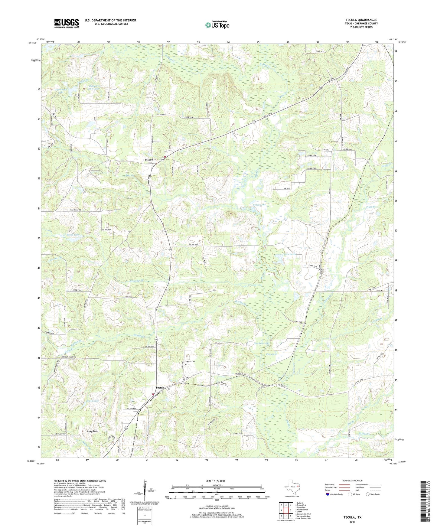
2019 topographic map quadrangle Tecula in the state of Texas. Scale: 1:24000. Based on the newly updated USGS 7.5' US Topo map series, this map is in the following counties: Cherokee. The map contains contour data, water features, and other items you are used to seeing on USGS maps, but also has updated roads and other features. This is the next generation of topographic maps. Printed on high-quality waterproof paper with UV fade-resistant inks.
Quads adjacent to this one:
West: Mount Selman
Northwest: Bullard
North: Troup West
Northeast: Troup East
East: Griffin
Southeast: New Summerfield
South: Jacksonville East
Southwest: Jacksonville West
Contains the following named places: Bear Creek, Bell Branch, Birches Creek, Brock Lake, Brushy, Brushy Creek, Bullard Club Lake Dam, Caney Creek, Club Lake Branch, Dickey Branch, Double Branch, Goldy Lake, Gould, Greenhead Lake, Hetty Branch, Lavender Branch, Miles Lake, Miles Lake Dam, Mixon, Mount Zion Church, North Cherokee County Volunteer Fire Department Station 1, North Cherokee County Volunteer Fire Department Station 2, North Jacksonville Oil Field, Pine Lake, Piney Branch, Rocky Point, Smith Lake, Stockton Lake, Taylors Chapel, Tecula, Tecula Cemetery, Twin Lakes, Wallace Branch, West Mud Creek