MyTopo
Griffin Texas US Topo Map
Couldn't load pickup availability
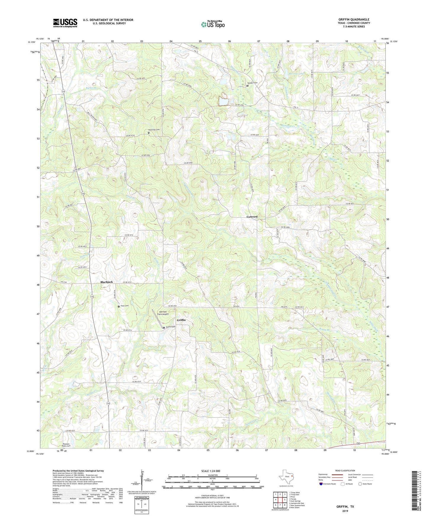
2022 topographic map quadrangle Griffin in the state of Texas. Scale: 1:24000. Based on the newly updated USGS 7.5' US Topo map series, this map is in the following counties: Cherokee. The map contains contour data, water features, and other items you are used to seeing on USGS maps, but also has updated roads and other features. This is the next generation of topographic maps. Printed on high-quality waterproof paper with UV fade-resistant inks.
Quads adjacent to this one:
West: Tecula
Northwest: Troup West
North: Troup East
Northeast: Price
East: Gum Springs
Southeast: New Salem
South: New Summerfield
Southwest: Jacksonville East
This map covers the same area as the classic USGS quad with code o32095a1.
Contains the following named places: Barker Branch, Barrons Lake, Blackjack, Boggy Branch, Campground Creek, Concord, Emmaus, Emmaus Church, Fitch Cemetery, Griffin, Griffin Cemetery, Grissom Creek, Hampton Creek, Harrison Farm Airport, Henrys Chapel, Knoxville Cemetery, Martins Chapel, New Summerfield Division, Pleasant Plains Church, Sanders Cemetery, Willis Ditch, ZIP Code: 75789