MyTopo
Toms Canyon Texas US Topo Map
Couldn't load pickup availability
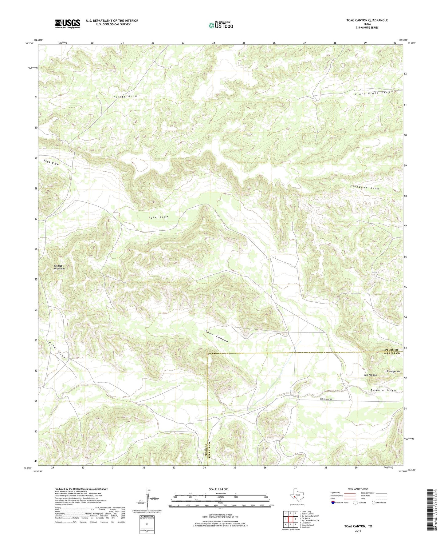
2022 topographic map quadrangle Toms Canyon in the state of Texas. Scale: 1:24000. Based on the newly updated USGS 7.5' US Topo map series, this map is in the following counties: Pecos, Terrell. The map contains contour data, water features, and other items you are used to seeing on USGS maps, but also has updated roads and other features. This is the next generation of topographic maps. Printed on high-quality waterproof paper with UV fade-resistant inks.
Quads adjacent to this one:
West: F C Ranch
Northwest: Ebers Camp
North: Busher Canyon
Northeast: Big Canyon Ranch NW
East: Big Canyon Ranch SW
Southeast: Sanderson
South: Ninemile Ranch
Southwest: Longfellow
This map covers the same area as the classic USGS quad with code o30102c5.
Contains the following named places: Baker Draw, Baker Windmill, Cliett Windmills, Downie Ranch, Fortyone Draw, Joes Booster Windmill, Pyle Draw, Rock Pens Windmill, Standifer Gap, Toms Canyon, Two Top Mountain, Vega Draw, Yerbabuena Windmill