MyTopo
Umbrella Point Texas US Topo Map
Couldn't load pickup availability
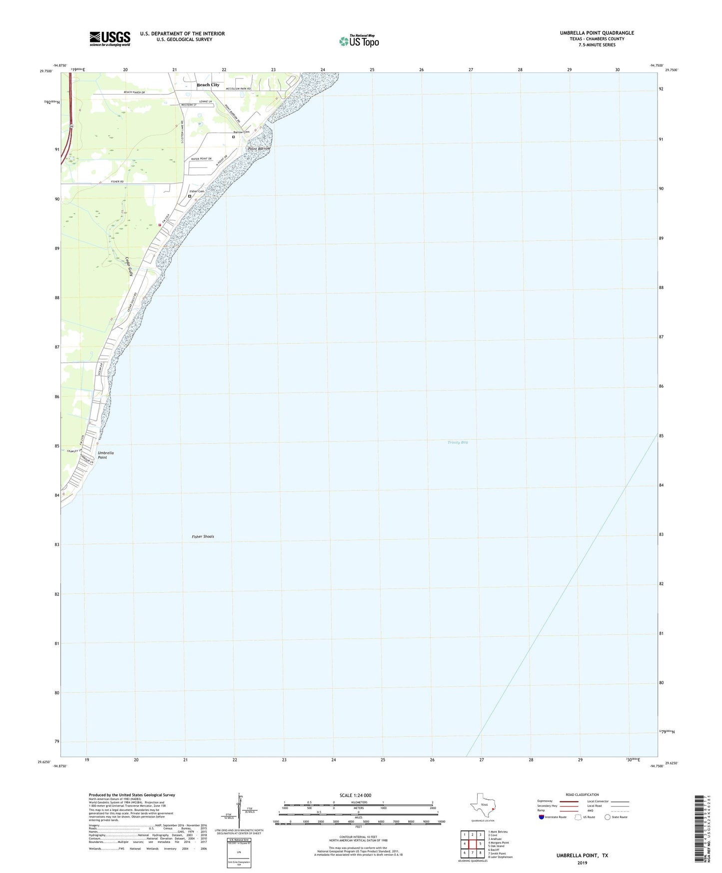
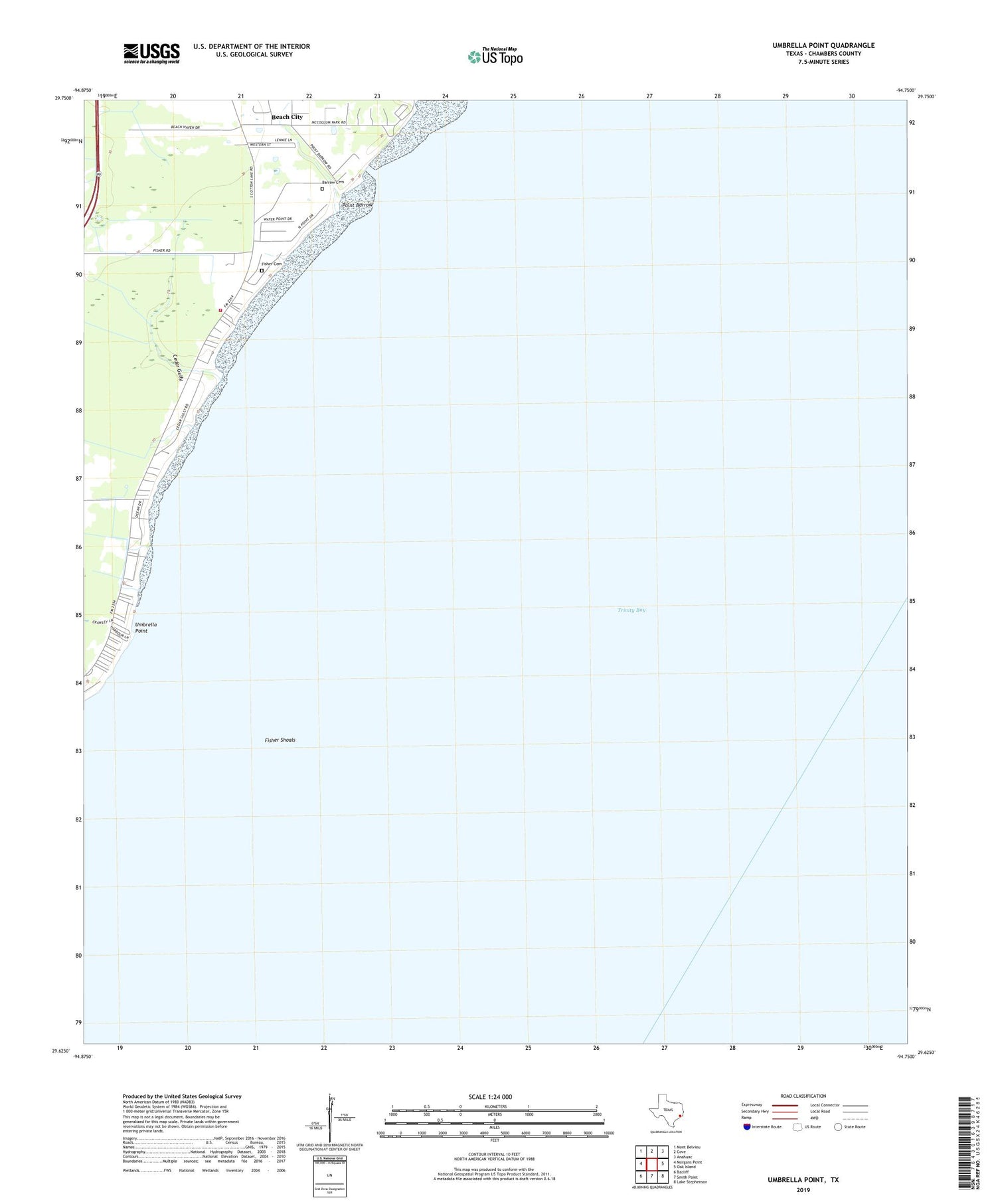
2019 topographic map quadrangle Umbrella Point in the state of Texas. Scale: 1:24000. Based on the newly updated USGS 7.5' US Topo map series, this map is in the following counties: Chambers. The map contains contour data, water features, and other items you are used to seeing on USGS maps, but also has updated roads and other features. This is the next generation of topographic maps. Printed on high-quality waterproof paper with UV fade-resistant inks.
Quads adjacent to this one:
West: Morgans Point
Northwest: Mont Belvieu
North: Cove
Northeast: Anahuac
East: Oak Island
Southeast: Lake Stephenson
South: Smith Point
Southwest: Bacliff
Contains the following named places: Barrow Cemetery, Beach City Community Building, Beach City Volunteer Fire Department, Camp Trinity Bay, Cedar Gully, City of Beach City, Fisher Cemetery, Fisher Shoals, Fishers Reef Oil Field, McCollum County Park, Optimist Camp, Point Barrow, Tri-City Beach Mission, Trinity Bay, Trinity Bay Church, Trinity Bay Oil Field, Umbrella Point, Umbrella Point Oil Field