MyTopo
Wolcott Ranch Texas US Topo Map
Couldn't load pickup availability
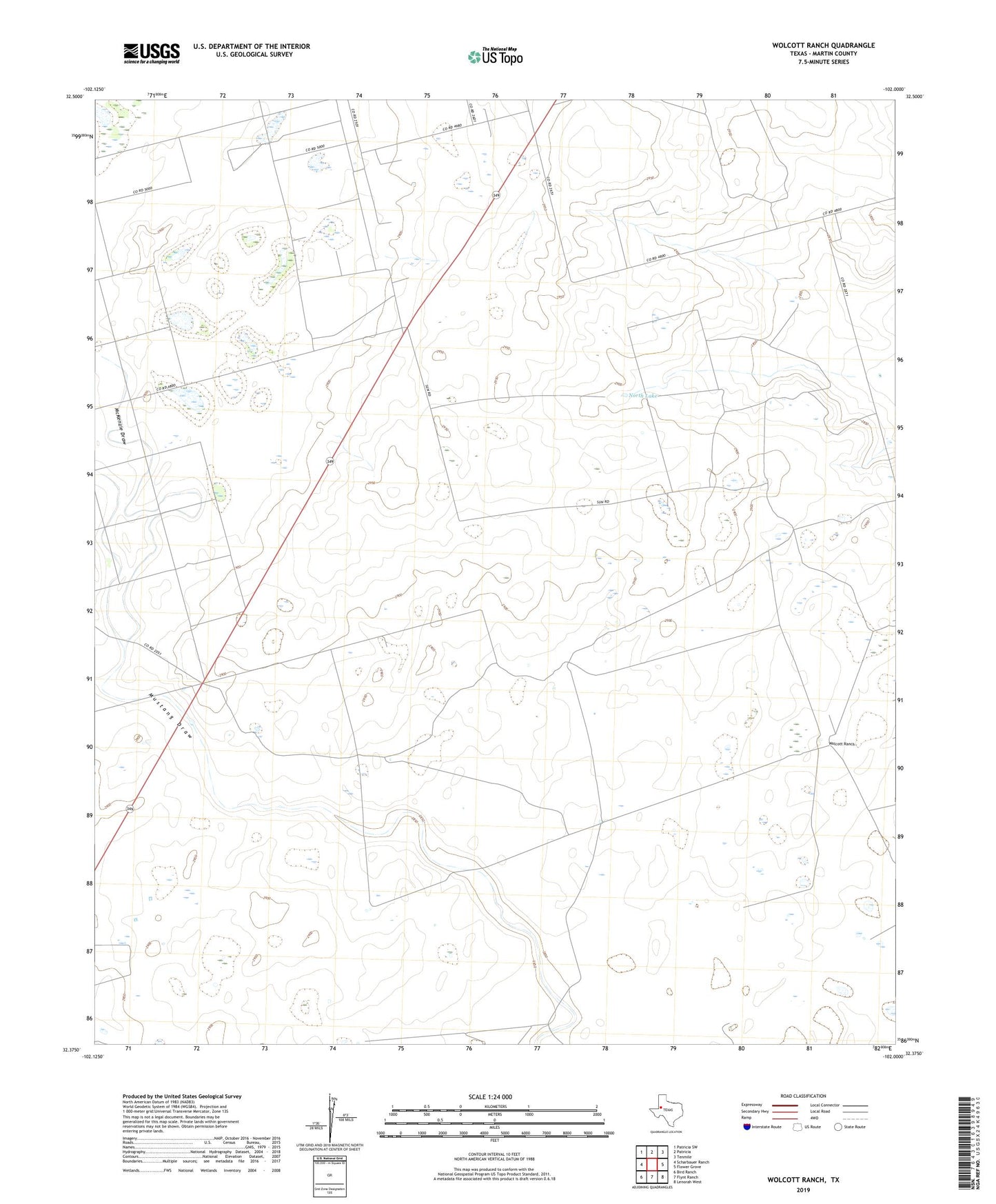
2022 topographic map quadrangle Wolcott Ranch in the state of Texas. Scale: 1:24000. Based on the newly updated USGS 7.5' US Topo map series, this map is in the following counties: Martin. The map contains contour data, water features, and other items you are used to seeing on USGS maps, but also has updated roads and other features. This is the next generation of topographic maps. Printed on high-quality waterproof paper with UV fade-resistant inks.
Quads adjacent to this one:
West: Scharbauer Ranch
Northwest: Patricia SW
North: Patricia
Northeast: Tenmile
East: Flower Grove
Southeast: Lenorah West
South: Flynt Ranch
Southwest: Bird Ranch
This map covers the same area as the classic USGS quad with code o32102d1.
Contains the following named places: Breedlove Oil Field, Budwizer Windmill, Bull Windmill, C M Windmill, Dynamite Windmill, East Windmill, Hyatt Ranch, McKenzie Draw, Middle Windmill, North Camp Windmill, North Lake, North Tank Windmill, Oil Well Windmill, South Windmill, West Windmill, Wheeler Windmill, Wolcott Ranch