MyTopo
Lenorah West Texas US Topo Map
Couldn't load pickup availability
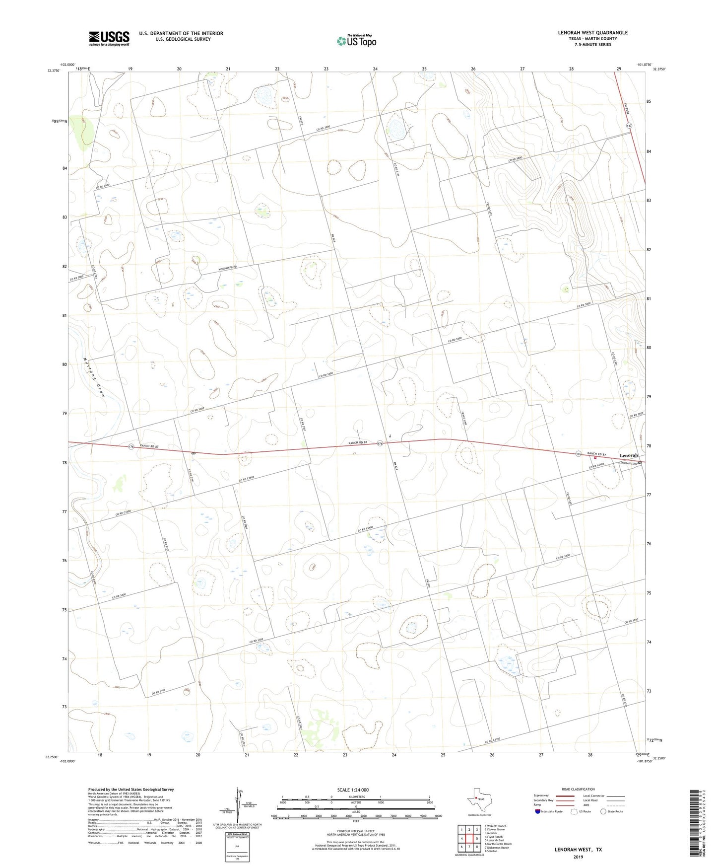
2022 topographic map quadrangle Lenorah West in the state of Texas. Scale: 1:24000. Based on the newly updated USGS 7.5' US Topo map series, this map is in the following counties: Martin. The map contains contour data, water features, and other items you are used to seeing on USGS maps, but also has updated roads and other features. This is the next generation of topographic maps. Printed on high-quality waterproof paper with UV fade-resistant inks.
Quads adjacent to this one:
West: Flynt Ranch
Northwest: Wolcott Ranch
North: Flower Grove
Northeast: Merrick
East: Lenorah East
Southeast: Stanton
South: Dickenson Ranch
Southwest: North Curtis Ranch
This map covers the same area as the classic USGS quad with code o32101c8.
Contains the following named places: Grady, Hopper Cemetery, Lenorah, Lenorah Post Office, Lenorah Volunteer Fire Department, Martin County, Tarzan, Tarzan Post Office, Tarzan-Lenorah Division