MyTopo
Woodward Texas US Topo Map
Couldn't load pickup availability
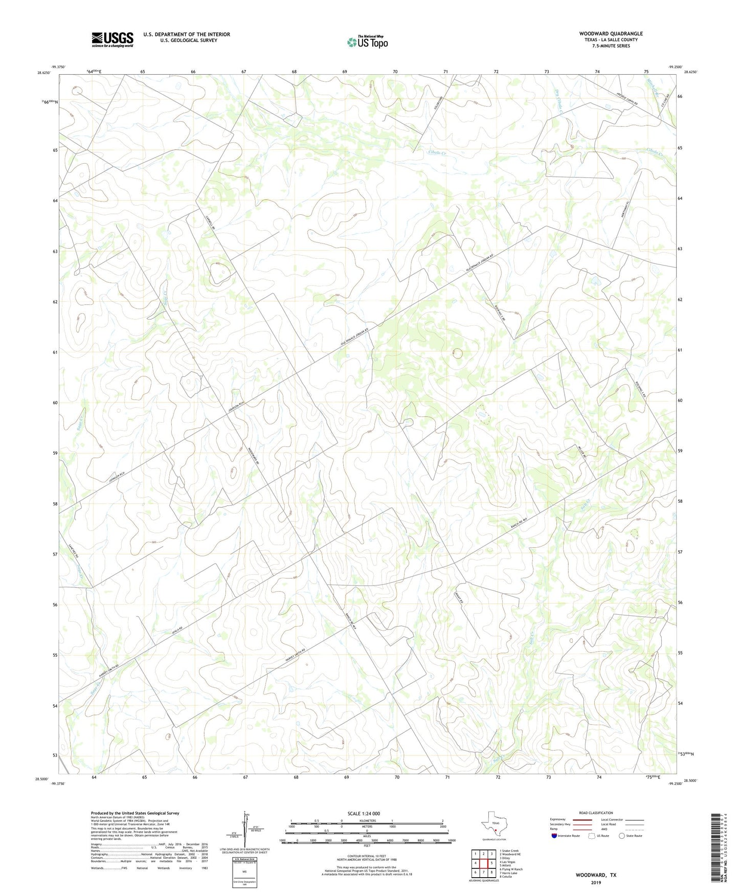
2022 topographic map quadrangle Woodward in the state of Texas. Scale: 1:24000. Based on the newly updated USGS 7.5' US Topo map series, this map is in the following counties: La Salle. The map contains contour data, water features, and other items you are used to seeing on USGS maps, but also has updated roads and other features. This is the next generation of topographic maps. Printed on high-quality waterproof paper with UV fade-resistant inks.
Quads adjacent to this one:
West: Las Vegas
Northwest: Snake Creek
North: Woodward NE
Northeast: Dilley
East: Millett
Southeast: Cotulla
South: Harris Lake
Southwest: Flying W Ranch
This map covers the same area as the classic USGS quad with code o28099e3.
Contains the following named places: Dry Cibolo Creek, Woodward