MyTopo
Adamsville Utah US Topo Map
Couldn't load pickup availability
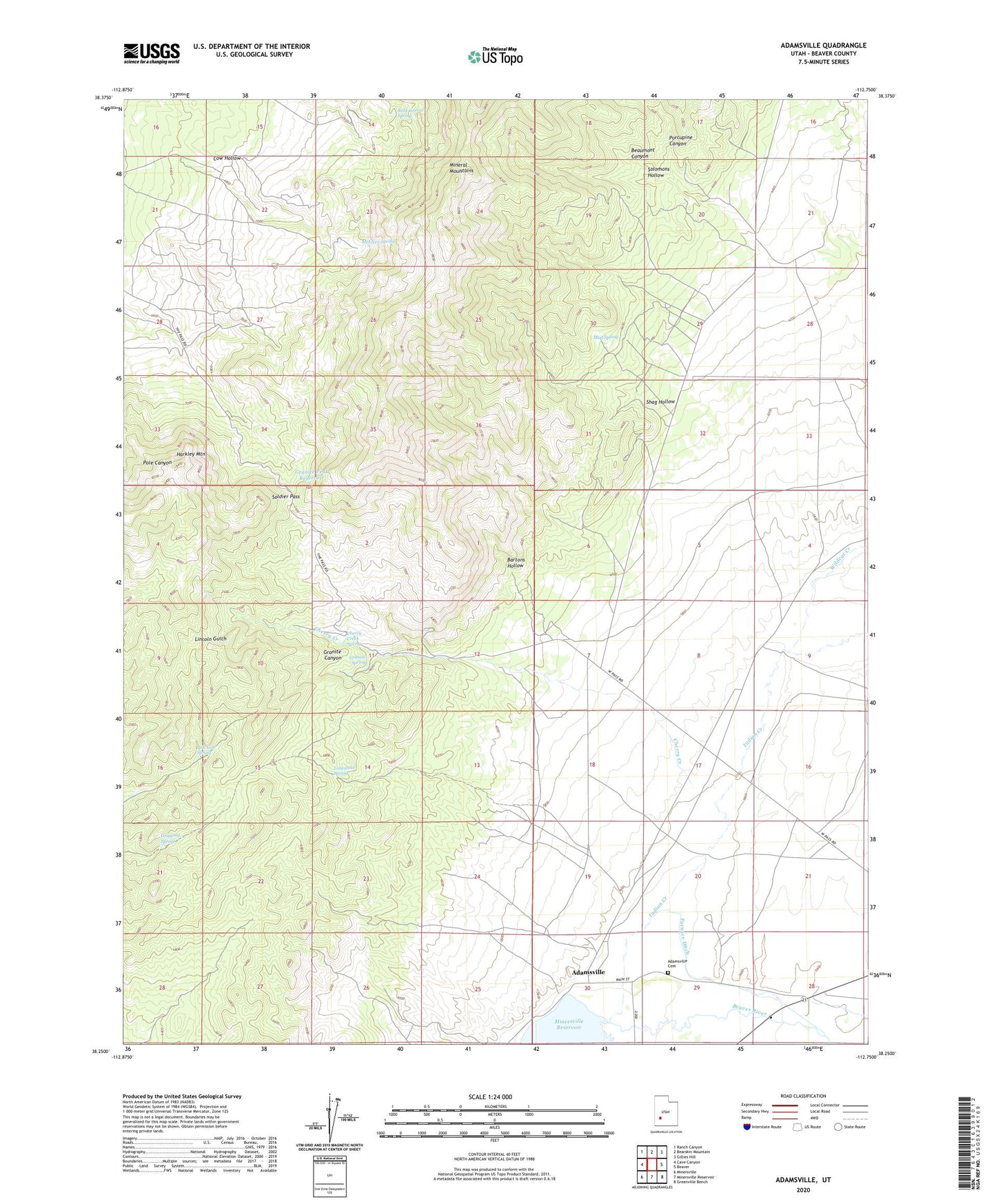
2023 topographic map quadrangle Adamsville in the state of Utah. Scale: 1:24000. Based on the newly updated USGS 7.5' US Topo map series, this map is in the following counties: Beaver. The map contains contour data, water features, and other items you are used to seeing on USGS maps, but also has updated roads and other features. This is the next generation of topographic maps. Printed on high-quality waterproof paper with UV fade-resistant inks.
Quads adjacent to this one:
West: Cave Canyon
Northwest: Ranch Canyon
North: Bearskin Mountain
Northeast: Gillies Hill
East: Beaver
Southeast: Greenville Bench
South: Minersville Reservoir
Southwest: Minersville
This map covers the same area as the classic USGS quad with code o38112c7.
Contains the following named places: Adamsville, Adamsville Cemetery, Bartons Hollow, Beaumont Canyon, Beaver View Mine, Blue Star Mine, Cherry Creek, Cherry Creek Spring, Cow Hollow, Dripping Spring, Furnace Ditch, Granite Canyon, Granite Peak Reservoir, Granite Spring, Harkley Mountain, Indian Creek, Limestone Spring, McEwen Spring, Mineral Mountains, Mud Spring, Pole Line Spring, Porcupine Canyon, Rock Corral, Rock Corral Recreation Site, Rock Corral Spring, Shag Hollow, Soldier Pass, Solomons Hollow, Wildcat Creek, ZIP Code: 84731