MyTopo
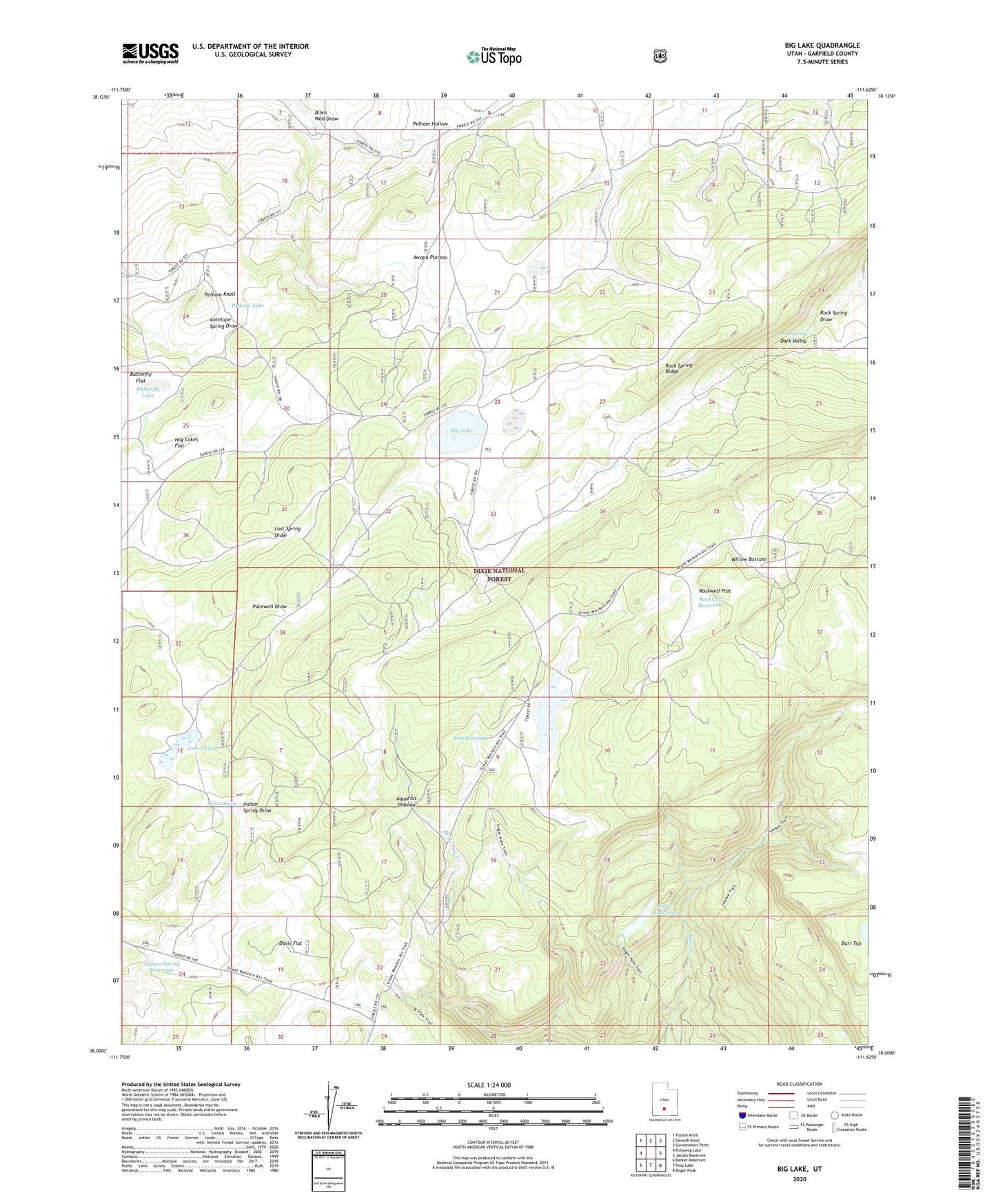
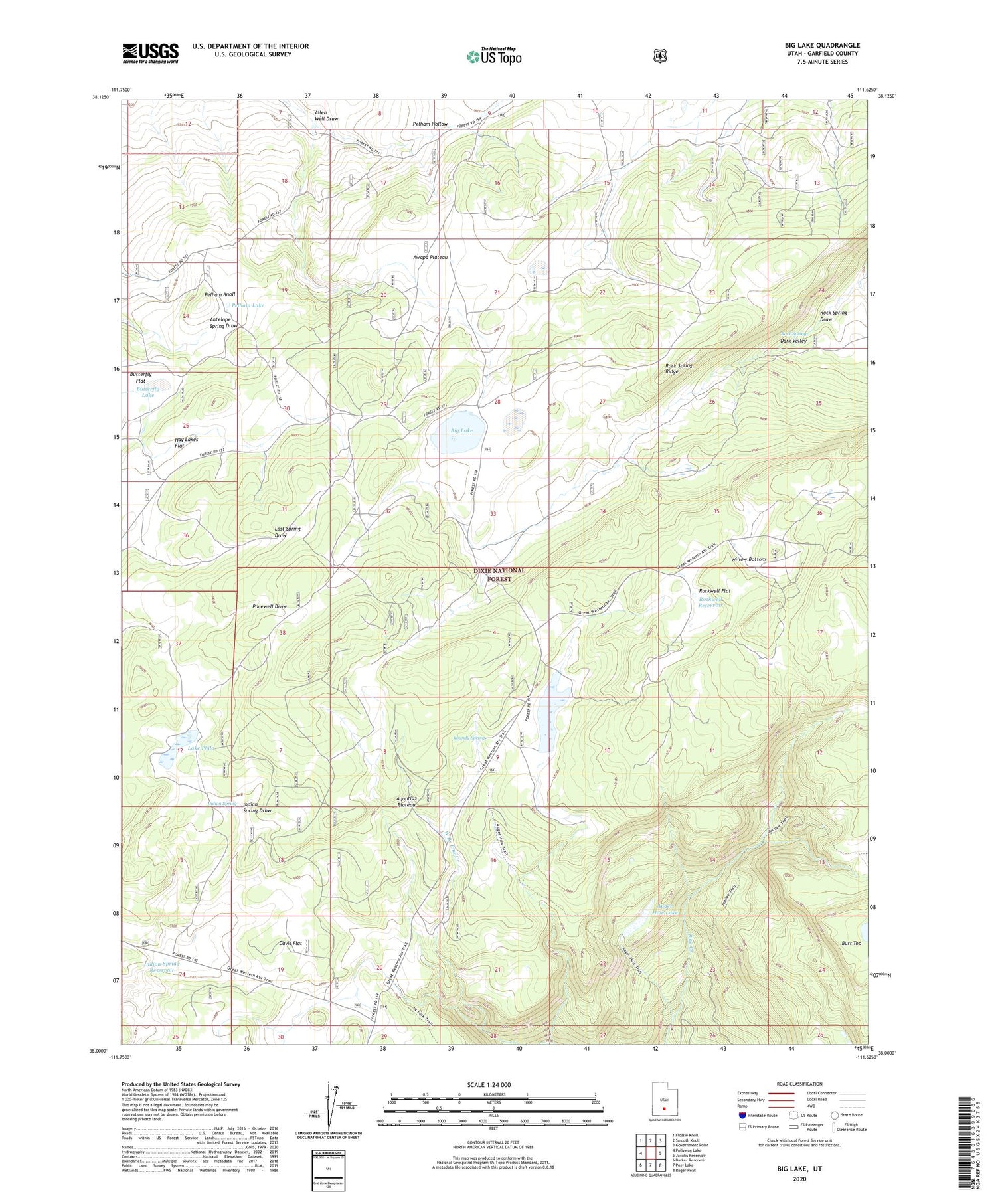
Big Lake Utah US Topo Map
Couldn't load pickup availability
2020 topographic map quadrangle Big Lake in the state of Utah. Scale: 1:24000. Based on the newly updated USGS 7.5' US Topo map series, this map is in the following counties: Garfield. The map contains contour data, water features, and other items you are used to seeing on USGS maps, but also has updated roads and other features. This is the next generation of topographic maps. Printed on high-quality waterproof paper with UV fade-resistant inks.
Quads adjacent to this one:
West: Pollywog Lake
Northwest: Flossie Knoll
North: Smooth Knoll
Northeast: Government Point
East: Jacobs Reservoir
Southeast: Roger Peak
South: Posy Lake
Southwest: Barker Reservoir
Contains the following named places: Allen Well, Allen Well Draw, Aquarius Plateau, Auger Hole Lake, Big Lake, Butterfly Flat, Butterfly Lake, Davis Flat, Indian Spring, Indian Spring Reservoir, Jubilee Guard Station, Lake Philo, Pelham Knoll, Pelham Lake, Rock Spring, Rock Spring Draw, Rock Spring Ridge, Rockwell Flat, Rockwell Reservoir, Roundy Reservoir, Roundy Reservoir Dam, Roundy Spring, Willow Bottom