MyTopo
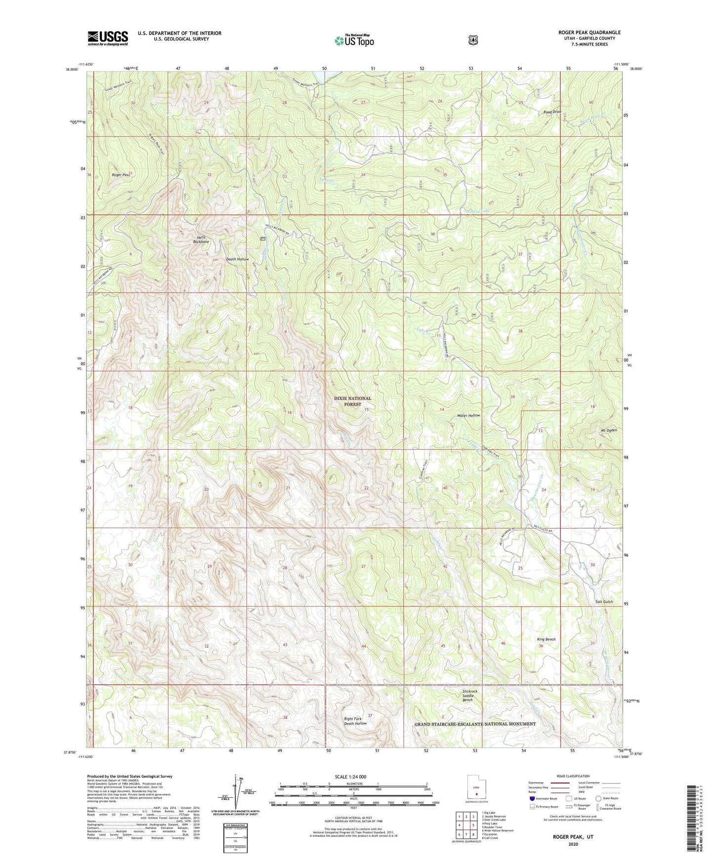
Roger Peak Utah US Topo Map
Couldn't load pickup availability
Also explore the Roger Peak Forest Service Topo of this same quad for updated USFS data
2023 topographic map quadrangle Roger Peak in the state of Utah. Scale: 1:24000. Based on the newly updated USGS 7.5' US Topo map series, this map is in the following counties: Garfield. The map contains contour data, water features, and other items you are used to seeing on USGS maps, but also has updated roads and other features. This is the next generation of topographic maps. Printed on high-quality waterproof paper with UV fade-resistant inks.
Quads adjacent to this one:
West: Posy Lake
Northwest: Big Lake
North: Jacobs Reservoir
Northeast: Deer Creek Lake
East: Boulder Town
Southeast: Calf Creek
South: Escalante
Southwest: Wide Hollow Reservoir
This map covers the same area as the classic USGS quad with code o37111h5.
Contains the following named places: Box-Death Hollow Wilderness, Donkey Lake, Grimes Creek, Hells Backbone, King Bench, King Ranch, Lake Creek, Mount Ogden, Right Fork Death Hollow, Roger Peak, Salt Gulch, Water Hollow