
MyTopo
Bobby Canyon South Utah US Topo Map
Couldn't load pickup availability
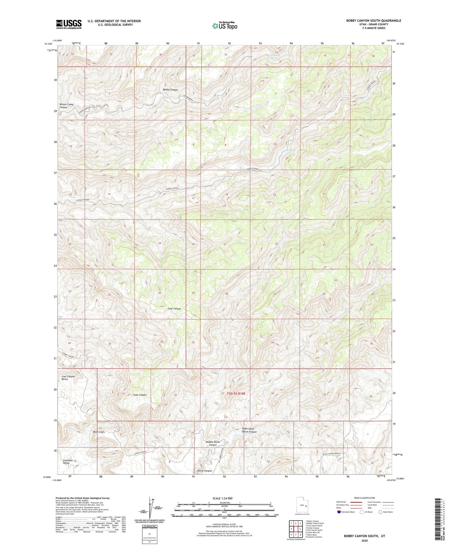
2020 topographic map quadrangle Bobby Canyon South in the state of Utah. Scale: 1:24000. Based on the newly updated USGS 7.5' US Topo map series, this map is in the following counties: Grand. The map contains contour data, water features, and other items you are used to seeing on USGS maps, but also has updated roads and other features. This is the next generation of topographic maps. Printed on high-quality waterproof paper with UV fade-resistant inks.
Quads adjacent to this one:
West: Tusher Canyon
Northwest: Butler Canyon
North: Bobby Canyon North
Northeast: Floy Canyon North
East: Floy Canyon South
Southeast: Crescent Junction
South: Hatch Mesa
Southwest: Green River NE
Contains the following named places: Bobby Canyon, Coal Canyon Bench, Cottonwood Spring, Cow Spring, Middle Horse Canyon, Right Hand Horse Canyon, Winter Camp Canyon


