MyTopo
Bollie Lake Utah US Topo Map
Couldn't load pickup availability
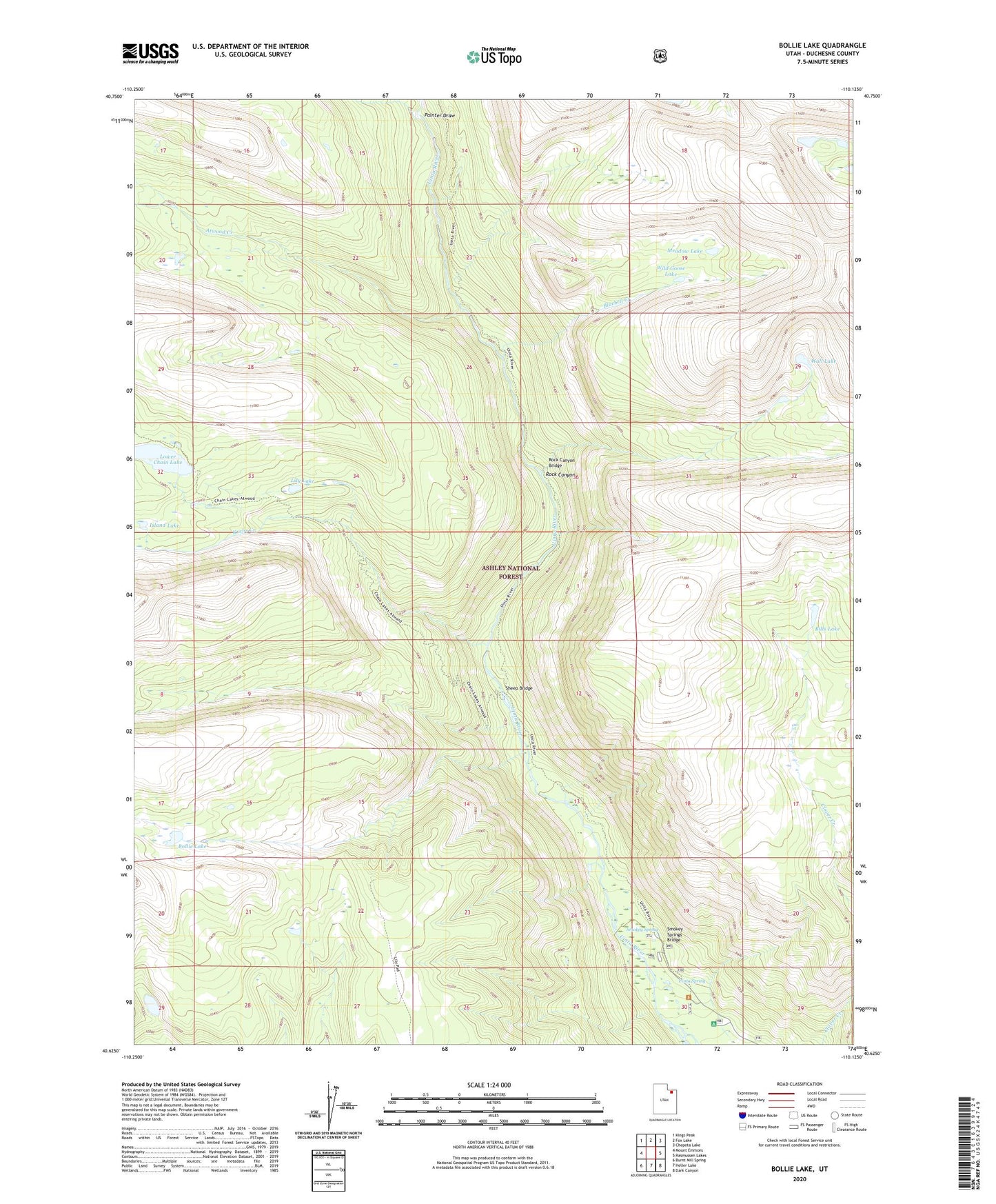
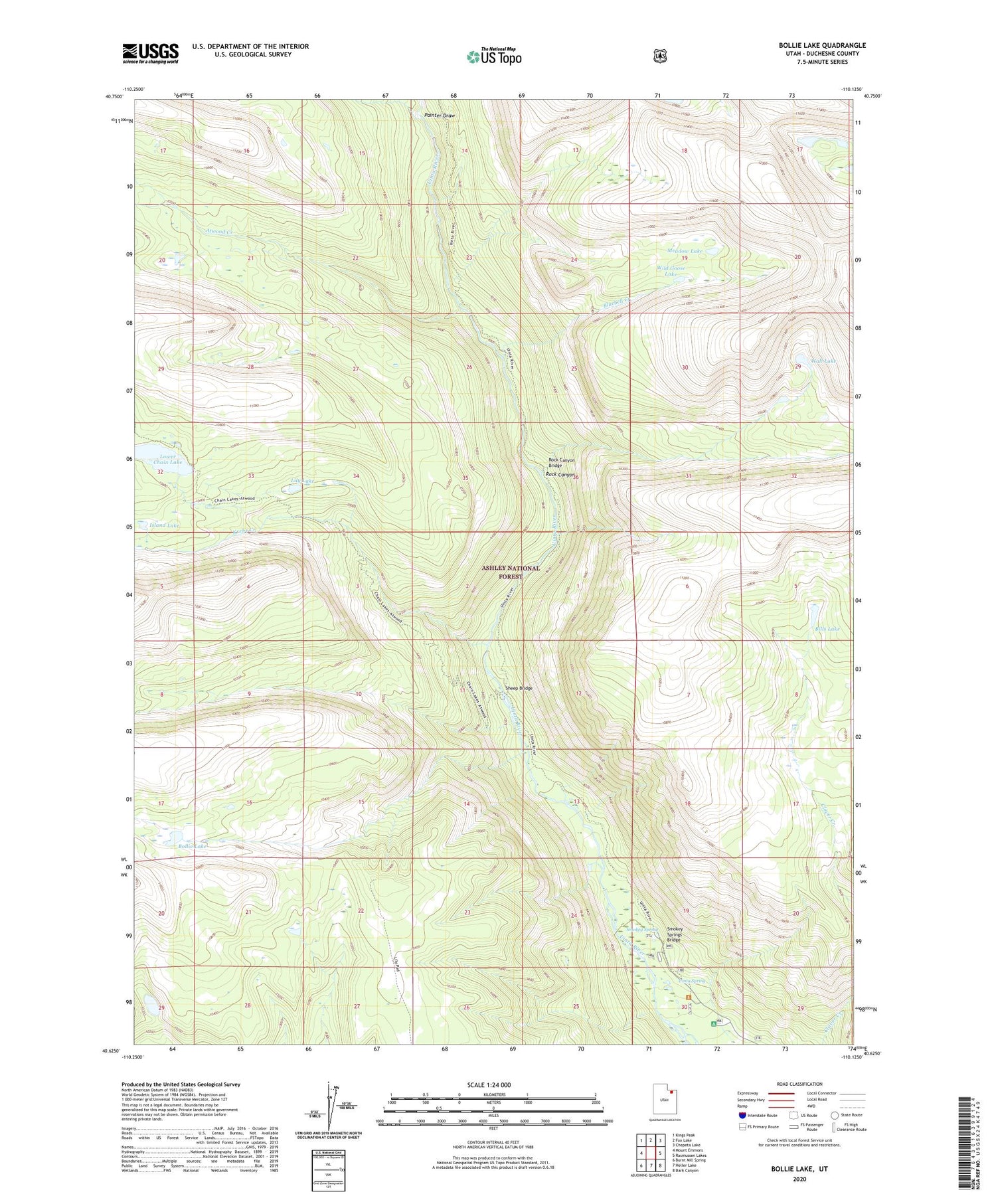
2020 topographic map quadrangle Bollie Lake in the state of Utah. Scale: 1:24000. Based on the newly updated USGS 7.5' US Topo map series, this map is in the following counties: Duchesne. The map contains contour data, water features, and other items you are used to seeing on USGS maps, but also has updated roads and other features. This is the next generation of topographic maps. Printed on high-quality waterproof paper with UV fade-resistant inks.
Quads adjacent to this one:
West: Mount Emmons
Northwest: Kings Peak
North: Fox Lake
Northeast: Chepeta Lake
East: Rasmussen Lakes
Southeast: Dark Canyon
South: Heller Lake
Southwest: Burnt Mill Spring
Contains the following named places: Atwood Creek, Bills Lake, Bluebell Creek, Bollie Lake, Island Lake, Krebs Creek, Lily Lake, Lower Chain Lake, Lower Chain Lake Dam, Meadow Lake, Painter Draw, Rock Canyon, Rock Canyon Bridge, Sheep Bridge, Smokey Spring, Smokey Springs Bridge, U-Bar Ranch, Uinta Park Guard Station, Uinta Picnic Area, Uinta Spring, Wall Lake, Wandin Campground, Wild Goose Lake