MyTopo
Rasmussen Lakes Utah US Topo Map
Couldn't load pickup availability
Also explore the Rasmussen Lakes Forest Service Topo of this same quad for updated USFS data
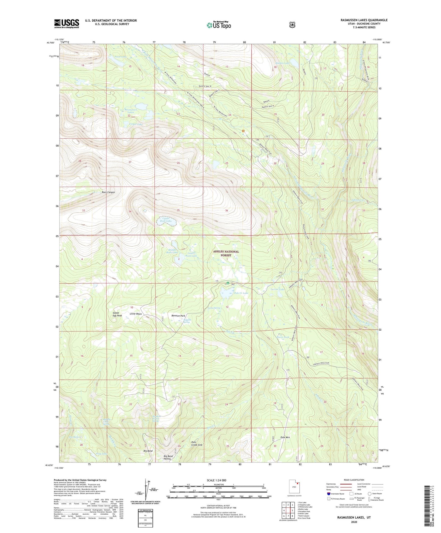
2023 topographic map quadrangle Rasmussen Lakes in the state of Utah. Scale: 1:24000. Based on the newly updated USGS 7.5' US Topo map series, this map is in the following counties: Duchesne. The map contains contour data, water features, and other items you are used to seeing on USGS maps, but also has updated roads and other features. This is the next generation of topographic maps. Printed on high-quality waterproof paper with UV fade-resistant inks.
Quads adjacent to this one:
West: Bollie Lake
Northwest: Fox Lake
North: Chepeta Lake
Northeast: Whiterocks Lake
East: Paradise Park
Southeast: Ice Cave Peak
South: Dark Canyon
Southwest: Heller Lake
This map covers the same area as the classic USGS quad with code o40110f1.
Contains the following named places: Ashley National Forest, Bennion Park, Bennion Spring, Big Bend, Big Bend Hollow, Big Bend Hollow Spring, Bull Elk Creek Spring, Cirque Lake, Cliff Creek, Davis Park, East Fork Whiterocks River, Frog Lake, Goose Egg Peak, Hidden Lake, Island Lake Dam, Johnson Creek, Larvae Lake, Little Basin, Lower Rock Lake, Lucky Spring, Middle Rock Lake, Point Lake, Pole Creek Campground, Pole Creek Lake, Pole Creek Sink, Pole Mountain, Pot Holes, Rasmussen Lakes, Upper Rock Lake, West Fork Whiterocks River