MyTopo
Burmester Utah US Topo Map
Couldn't load pickup availability
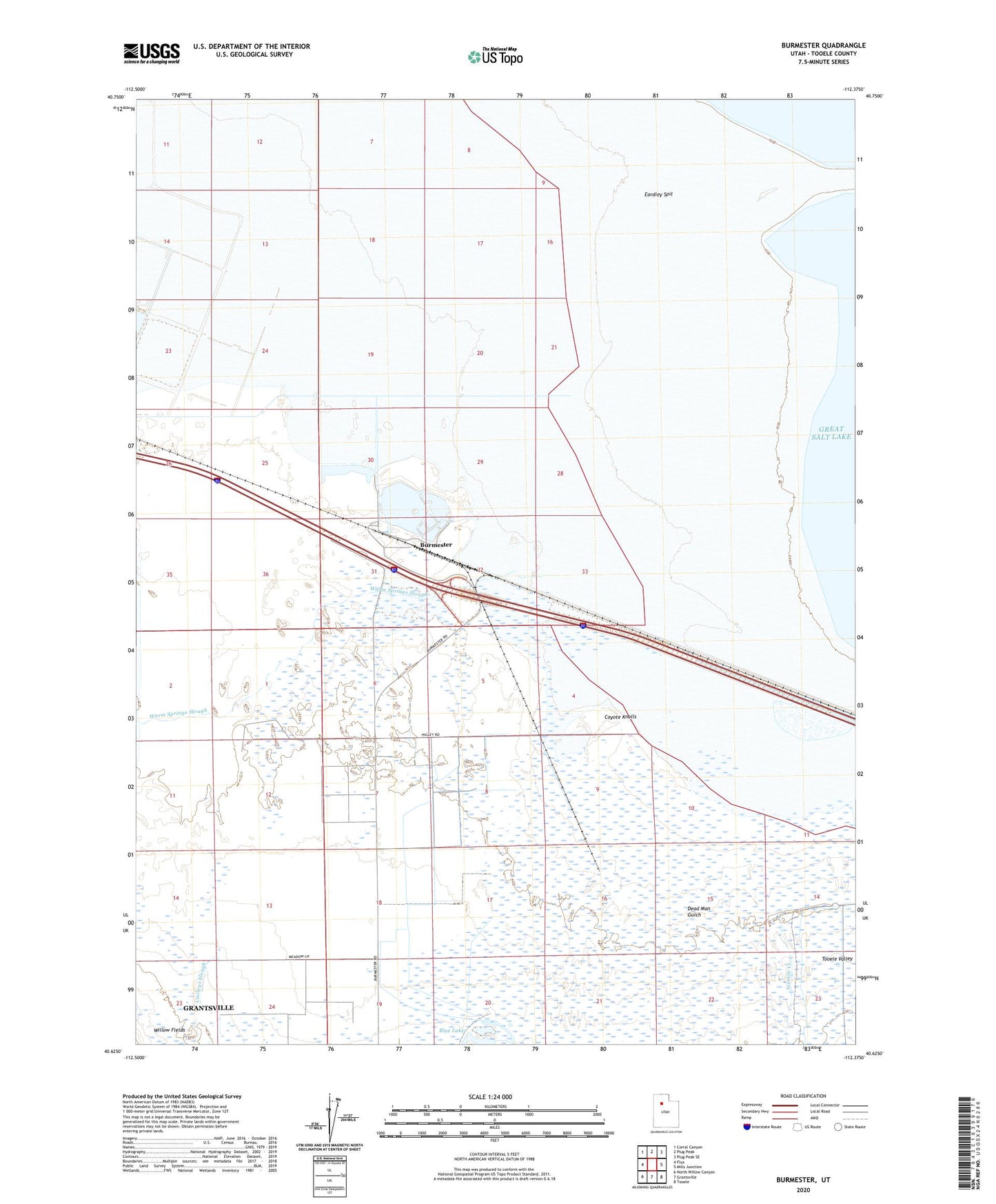
2023 topographic map quadrangle Burmester in the state of Utah. Scale: 1:24000. Based on the newly updated USGS 7.5' US Topo map series, this map is in the following counties: Tooele. The map contains contour data, water features, and other items you are used to seeing on USGS maps, but also has updated roads and other features. This is the next generation of topographic maps. Printed on high-quality waterproof paper with UV fade-resistant inks.
Quads adjacent to this one:
West: Flux
Northwest: Corral Canyon
North: Plug Peak
Northeast: Plug Peak SE
East: Mills Junction
Southeast: Tooele
South: Grantsville
Southwest: North Willow Canyon
This map covers the same area as the classic USGS quad with code o40112f4.
Contains the following named places: Burmester, Cooleys Slough, Coyote Knolls, Dead Man Gulch, Fishing Creek, Tooele-Grantsville Division, Warm Springs Slough, Willow Fields