MyTopo
Burnt Timber Canyon Utah US Topo Map
Couldn't load pickup availability
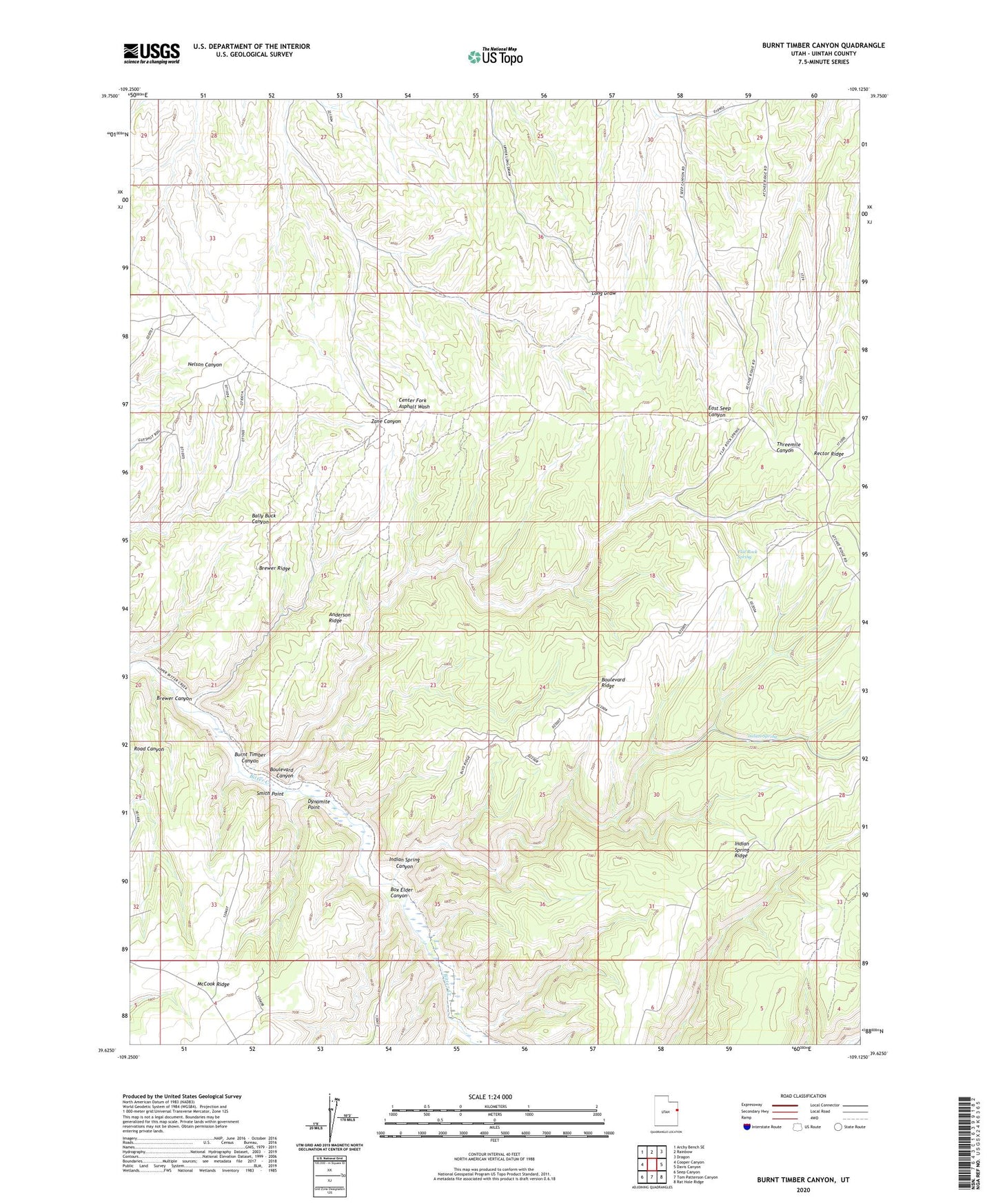
2020 topographic map quadrangle Burnt Timber Canyon in the state of Utah. Scale: 1:24000. Based on the newly updated USGS 7.5' US Topo map series, this map is in the following counties: Uintah. The map contains contour data, water features, and other items you are used to seeing on USGS maps, but also has updated roads and other features. This is the next generation of topographic maps. Printed on high-quality waterproof paper with UV fade-resistant inks.
Quads adjacent to this one:
West: Cooper Canyon
Northwest: Archy Bench SE
North: Rainbow
Northeast: Dragon
East: Davis Canyon
Southeast: Rat Hole Ridge
South: Tom Patterson Canyon
Southwest: Seep Canyon
Contains the following named places: Anderson Ridge, Big Park, Boulevard Canyon, Boulevard Ridge, Box Elder Canyon, Brewer Canyon, Brewer Ridge, Burnt Timber Canyon, Dynamite Point, Flat Rock Spring, Indian Spring, Indian Spring Canyon, Indian Spring Ridge, Smith Point, Wolf Den