MyTopo
Copper Creek Benches Utah US Topo Map
Couldn't load pickup availability
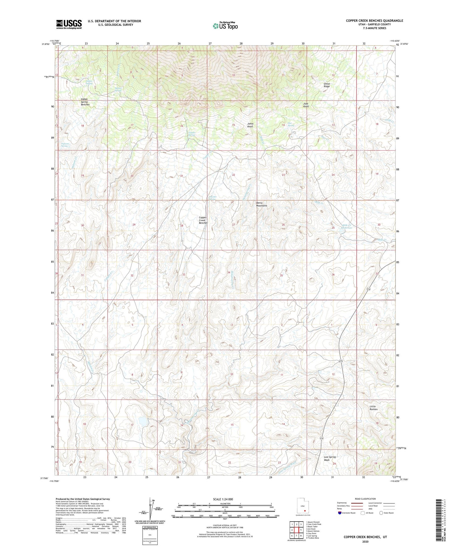
2023 topographic map quadrangle Copper Creek Benches in the state of Utah. Scale: 1:24000. Based on the newly updated USGS 7.5' US Topo map series, this map is in the following counties: Garfield. The map contains contour data, water features, and other items you are used to seeing on USGS maps, but also has updated roads and other features. This is the next generation of topographic maps. Printed on high-quality waterproof paper with UV fade-resistant inks.
Quads adjacent to this one:
West: Ant Knoll
Northwest: Mount Pennell
North: Cass Creek Peak
Northeast: Black Table
East: Mount Holmes
Southeast: Ticaboo Mesa
South: Lost Spring
Southwest: Clay Point
This map covers the same area as the classic USGS quad with code o37110g6.
Contains the following named places: Chucker Spring, Copper Creek, Copper Creek Benches, Copper Spring, Del Mont Mine, Ghost Ridge, Indian Spring, Indian Spring Benches, Johns Knoll, Juds Knoll, Milk Creek Reservoir, Papoose Spring, Shootaring Mine, Squaw Spring, Star Spring, Star Springs Campground