MyTopo
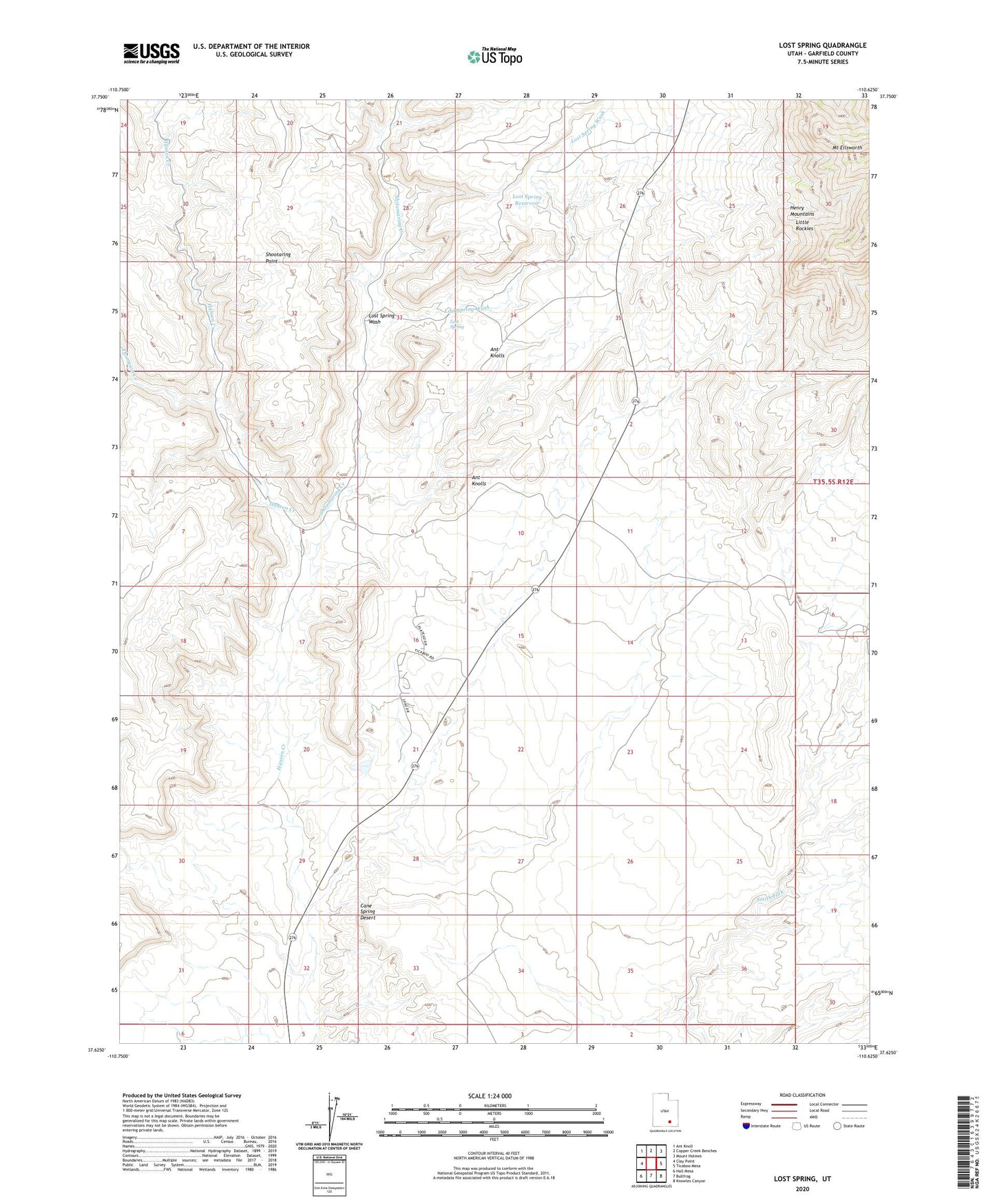
Lost Spring Utah US Topo Map
Couldn't load pickup availability
2023 topographic map quadrangle Lost Spring in the state of Utah. Scale: 1:24000. Based on the newly updated USGS 7.5' US Topo map series, this map is in the following counties: Garfield. The map contains contour data, water features, and other items you are used to seeing on USGS maps, but also has updated roads and other features. This is the next generation of topographic maps. Printed on high-quality waterproof paper with UV fade-resistant inks.
Quads adjacent to this one:
West: Clay Point
Northwest: Ant Knoll
North: Copper Creek Benches
Northeast: Mount Holmes
East: Ticaboo Mesa
Southeast: Knowles Canyon
South: Bullfrog
Southwest: Hall Mesa
This map covers the same area as the classic USGS quad with code o37110f6.
Contains the following named places: Ant Knolls, Cane Spring Desert, Cane Spring Well, Lost Spring, Lost Spring Reservoir, Lost Spring Wash, Poulas Tanks, Shitamaring Creek, Shootaring Point, The Church of Jesus Christ of Latter Day Saints, Thompson Creek, Ticaboo