MyTopo
Clay Point Utah US Topo Map
Couldn't load pickup availability
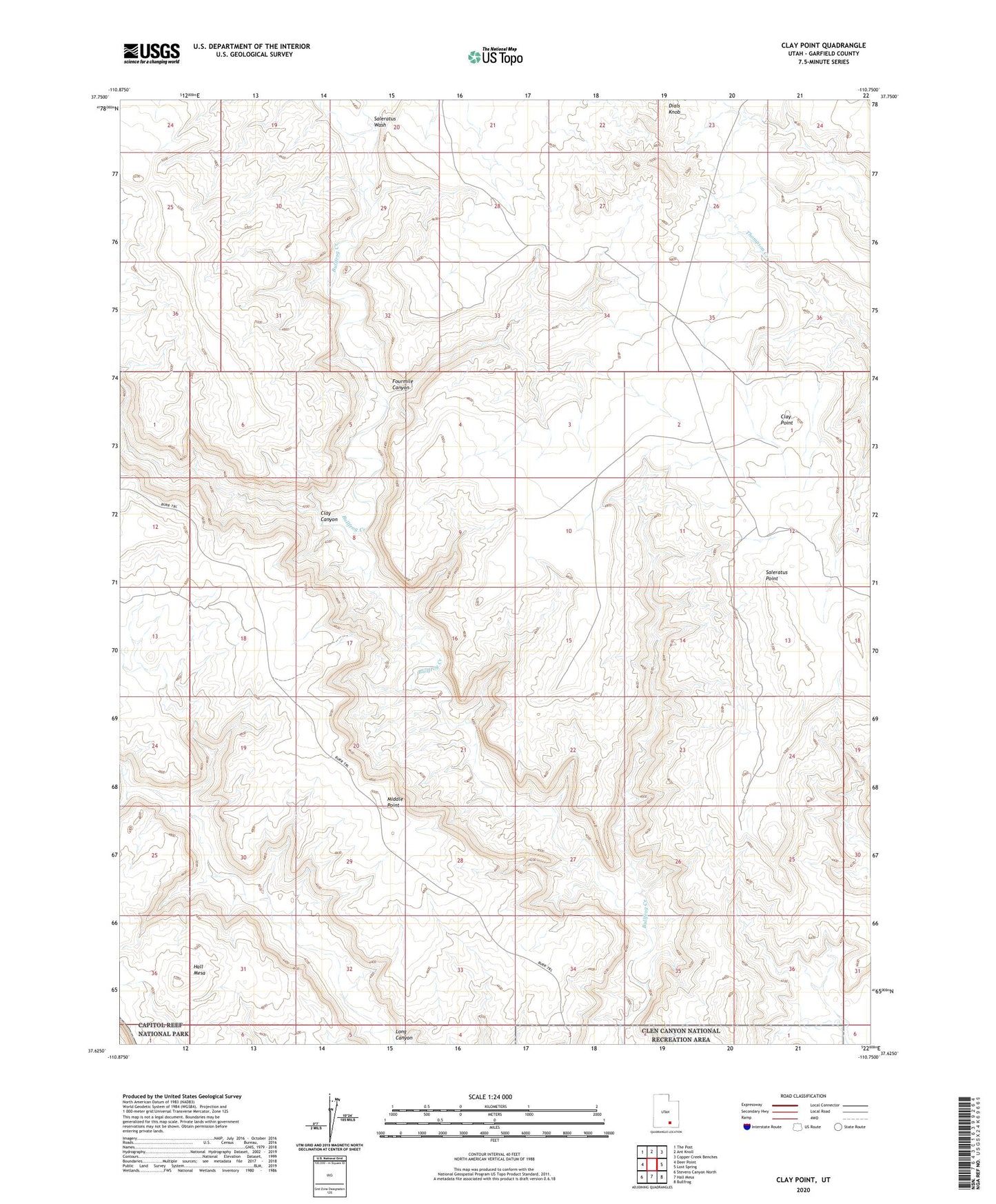
2023 topographic map quadrangle Clay Point in the state of Utah. Scale: 1:24000. Based on the newly updated USGS 7.5' US Topo map series, this map is in the following counties: Garfield. The map contains contour data, water features, and other items you are used to seeing on USGS maps, but also has updated roads and other features. This is the next generation of topographic maps. Printed on high-quality waterproof paper with UV fade-resistant inks.
Quads adjacent to this one:
West: Deer Point
Northwest: The Post
North: Ant Knoll
Northeast: Copper Creek Benches
East: Lost Spring
Southeast: Bullfrog
South: Hall Mesa
Southwest: Stevens Canyon North
This map covers the same area as the classic USGS quad with code o37110f7.
Contains the following named places: Bullfrog Creek Overlook, Clay Canyon, Clay Point, Dials Knob, Fourmile Canyon, Hall Mesa, Middle Point, Saleratus Point, Saleratus Wash