MyTopo
Crouse Reservoir Utah US Topo Map
Couldn't load pickup availability
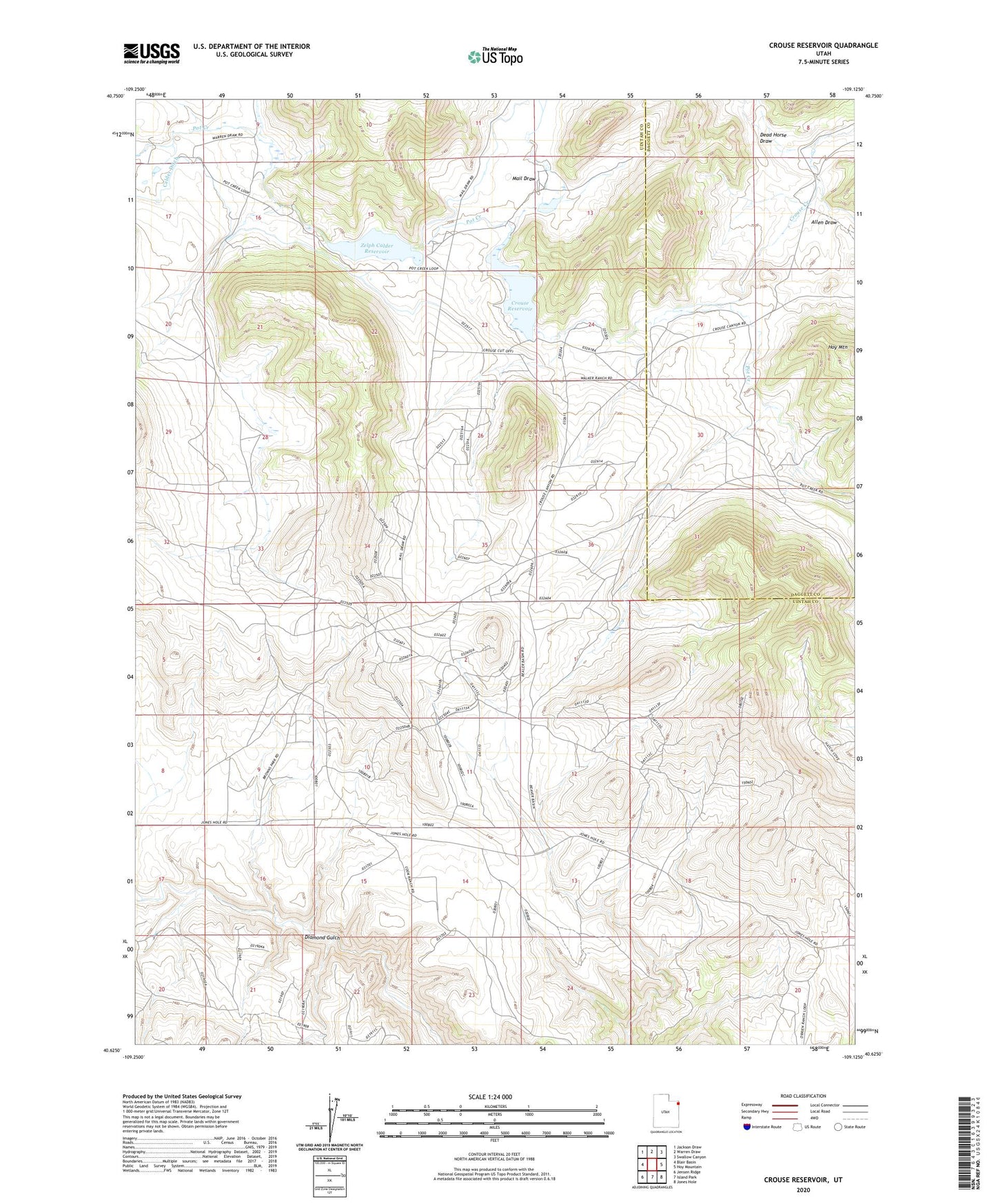
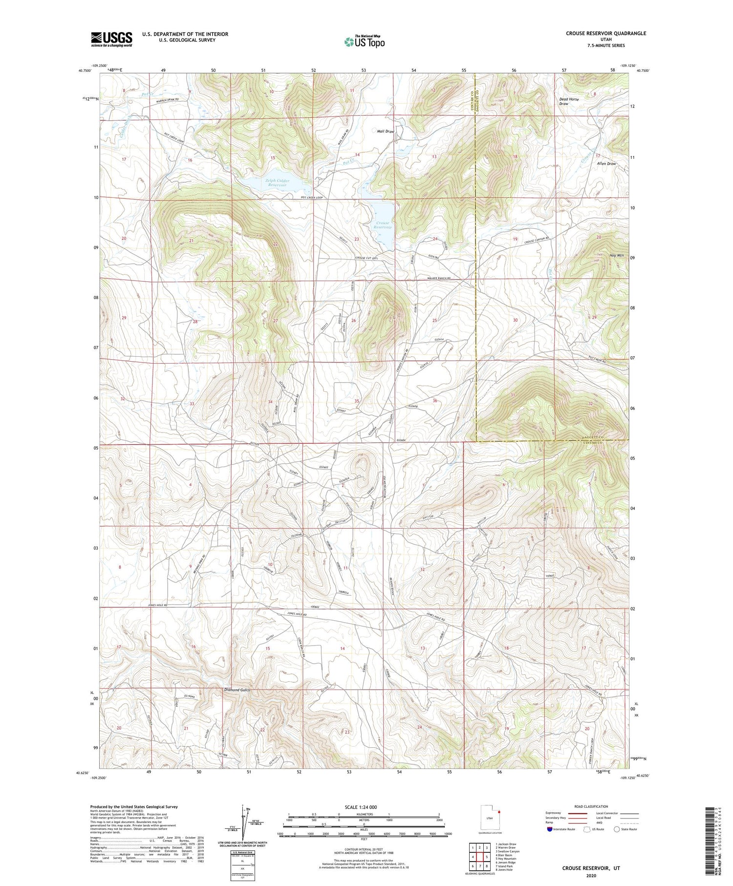
2020 topographic map quadrangle Crouse Reservoir in the state of Utah. Scale: 1:24000. Based on the newly updated USGS 7.5' US Topo map series, this map is in the following counties: Uintah, Daggett. The map contains contour data, water features, and other items you are used to seeing on USGS maps, but also has updated roads and other features. This is the next generation of topographic maps. Printed on high-quality waterproof paper with UV fade-resistant inks.
Quads adjacent to this one:
West: Blair Basin
Northwest: Jackson Draw
North: Warren Draw
Northeast: Swallow Canyon
East: Hoy Mountain
Southeast: Jones Hole
South: Island Park
Southwest: Jensen Ridge
Contains the following named places: Allen Draw, Calder Ditch, Crouse Dam, Crouse Reservoir, Dead Horse Draw, Mail Draw, Pot Creek Recreation Site, Zelph Calder Dam, Zelph Calder Reservoir