MyTopo
Hoy Mountain Utah US Topo Map
Couldn't load pickup availability
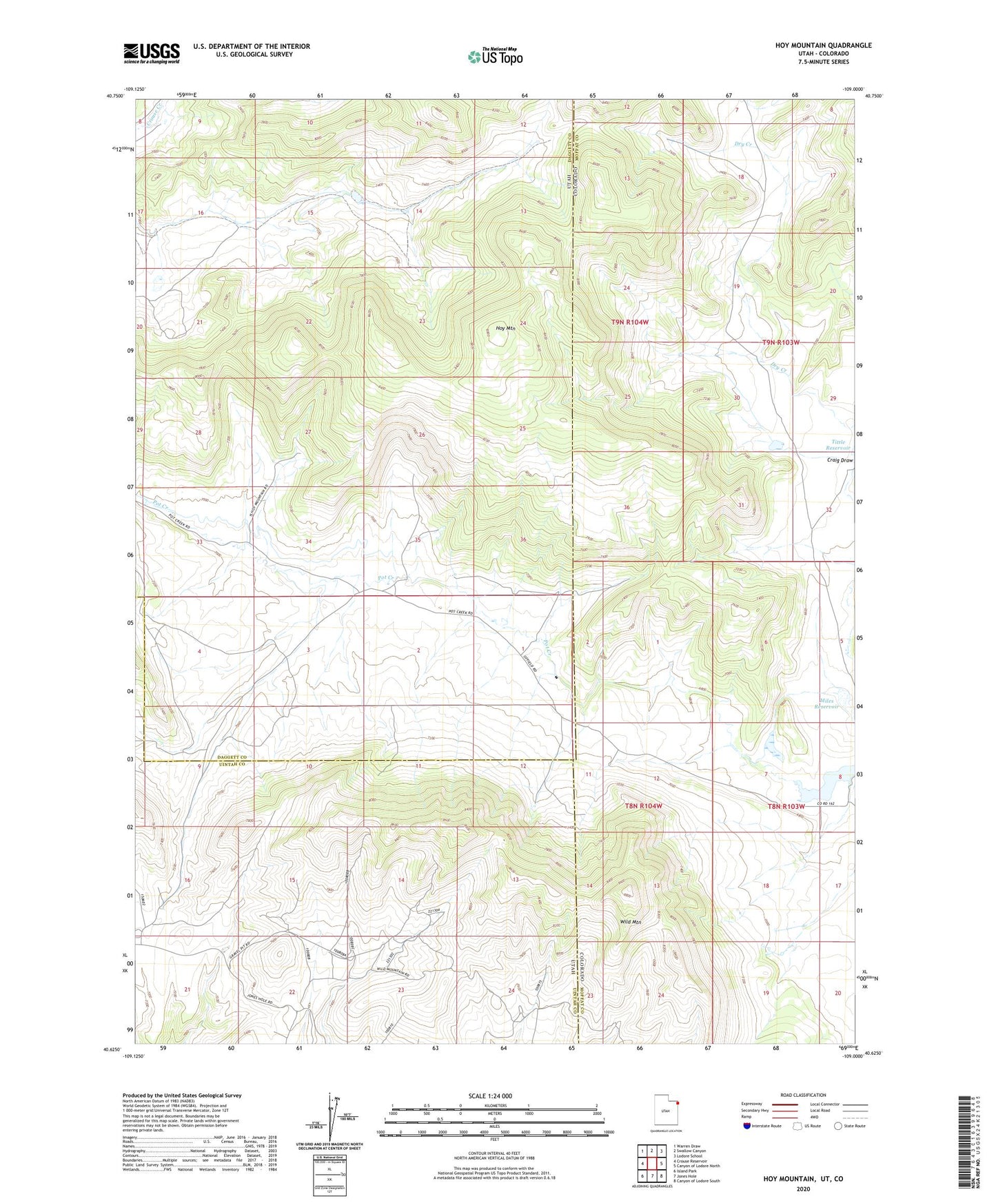
2023 topographic map quadrangle Hoy Mountain in the states of Utah, Colorado. Scale: 1:24000. Based on the newly updated USGS 7.5' US Topo map series, this map is in the following counties: Daggett, Moffat, Uintah. The map contains contour data, water features, and other items you are used to seeing on USGS maps, but also has updated roads and other features. This is the next generation of topographic maps. Printed on high-quality waterproof paper with UV fade-resistant inks.
Quads adjacent to this one:
West: Crouse Reservoir
Northwest: Warren Draw
North: Swallow Canyon
Northeast: Lodore School
East: Canyon of Lodore North
Southeast: Canyon of Lodore South
South: Jones Hole
Southwest: Island Park
This map covers the same area as the classic USGS quad with code o40109f1.
Contains the following named places: Hoy Mountain, Miles Reservoir, Offield Dam, Offield Reservoir, Wild Mountain