
MyTopo
Deer Creek Lake Utah US Topo Map
Couldn't load pickup availability
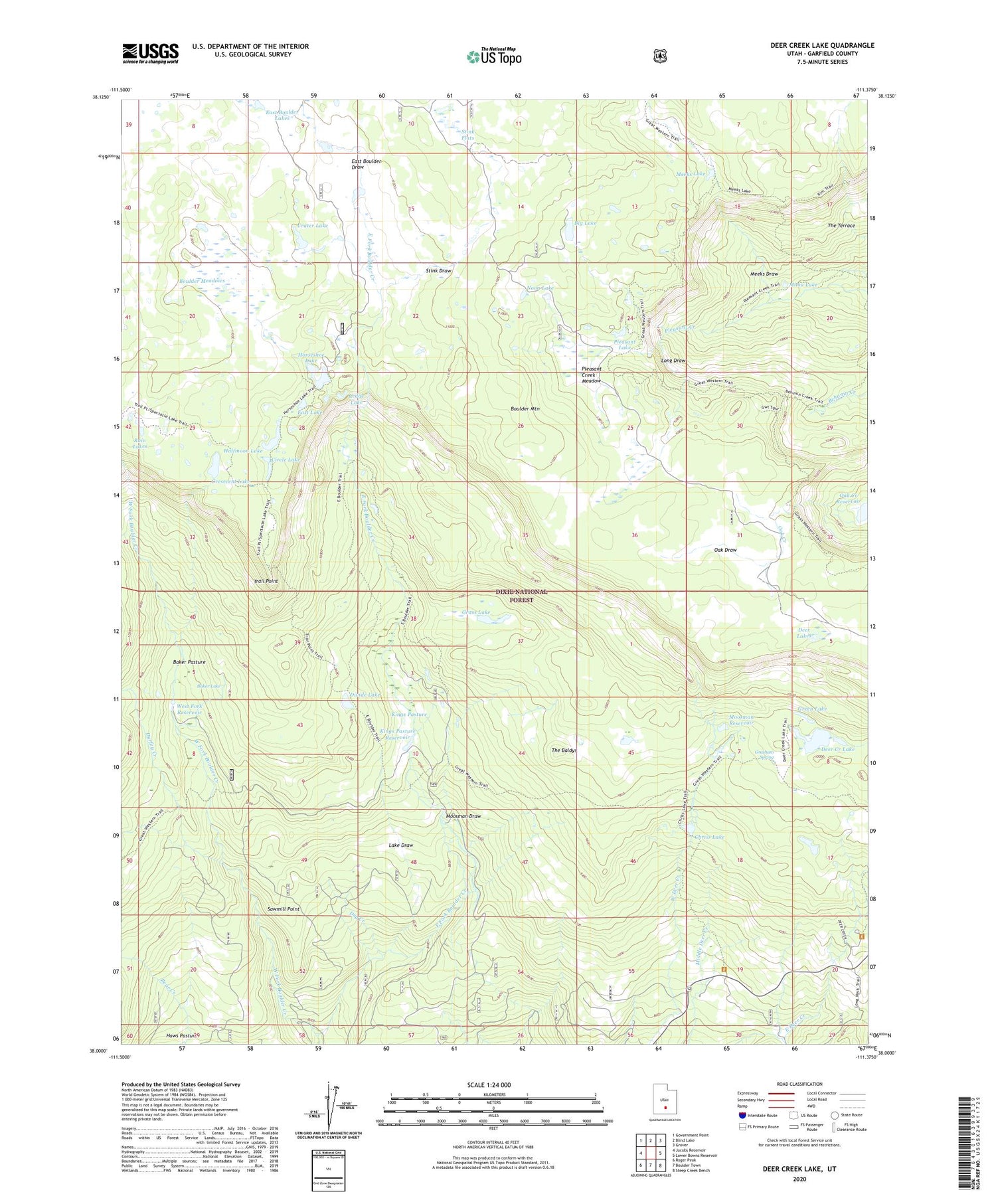
2020 topographic map quadrangle Deer Creek Lake in the state of Utah. Scale: 1:24000. Based on the newly updated USGS 7.5' US Topo map series, this map is in the following counties: Garfield. The map contains contour data, water features, and other items you are used to seeing on USGS maps, but also has updated roads and other features. This is the next generation of topographic maps. Printed on high-quality waterproof paper with UV fade-resistant inks.
Quads adjacent to this one:
West: Jacobs Reservoir
Northwest: Government Point
North: Blind Lake
Northeast: Grover
East: Lower Bowns Reservoir
Southeast: Steep Creek Bench
South: Boulder Town
Southwest: Roger Peak
Contains the following named places: Baker Lake, Baker Pasture, Big Lake, Boulder Meadows, Chriss Lake, Circle Lake, Crater Lake, Cresecent Lake, Deer Creek Lake, Deer Lakes, Divide Lake, Dry Creek, Durfey Creek, East Boulder Draw, East Boulder Lakes, East Fork Boulder Creek, East Lake, Grass Lake, Green Lake, Gresham Spring, Halfmoon Lake, Horseshoe Lake, Kings Pasture, Kings Pasture Reservoir, Lake Draw, Ledge Lake, Long Draw, Meeks Draw, Meeks Lake, Mima Lake, Moosman Draw, Moosman Reservoir, Noon Lake, Oak Draw, Pleasant Creek Meadow, Pleasant Lake, Rain Lakes, Sawmill, Sawmill Point, Stink Draw, Stink Flats, The Baldys, Trail Point, West Fork Boulder Creek, West Fork Reservoir


