MyTopo
Drowned Hole Draw Utah US Topo Map
Couldn't load pickup availability
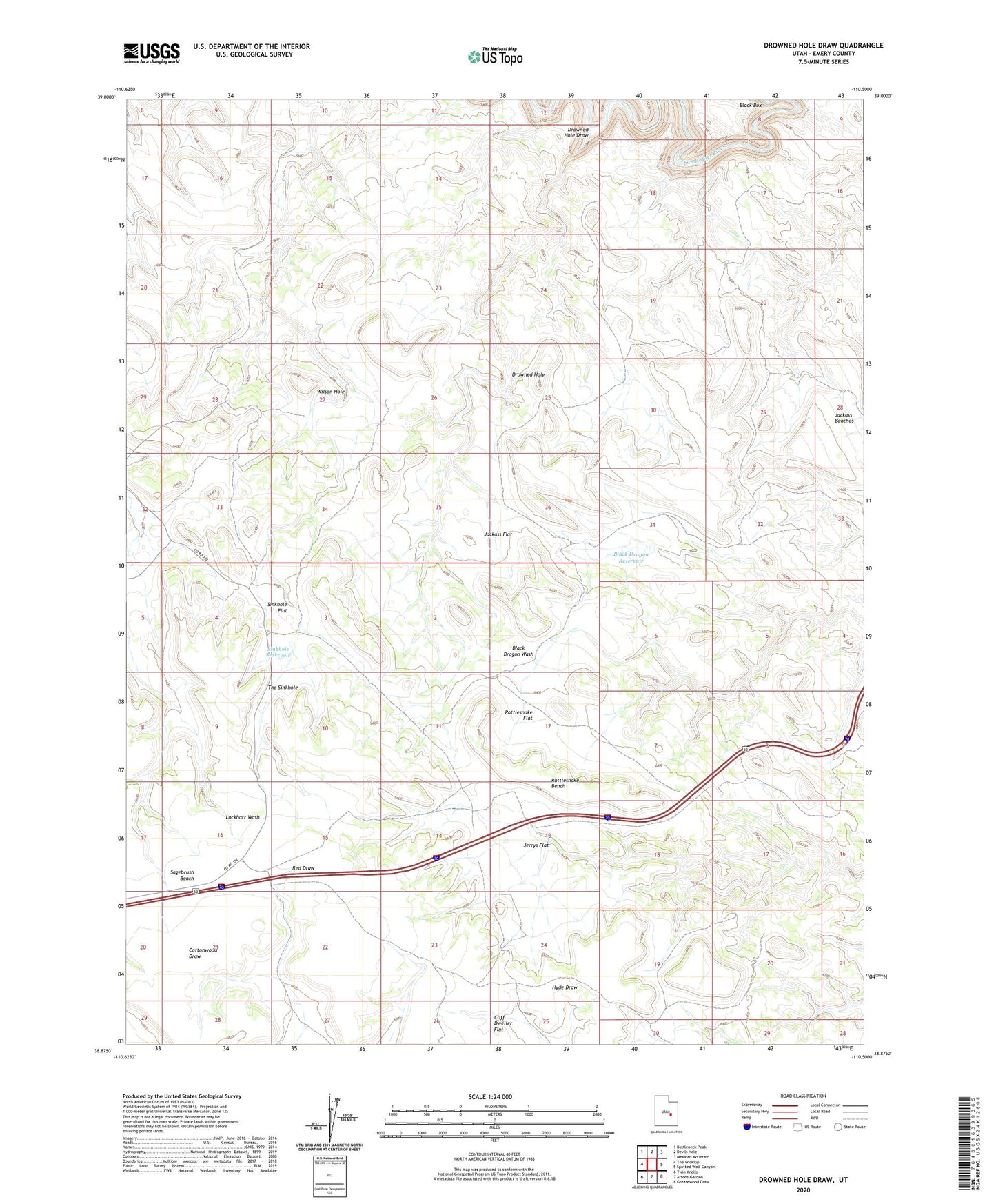
2023 topographic map quadrangle Drowned Hole Draw in the state of Utah. Scale: 1:24000. Based on the newly updated USGS 7.5' US Topo map series, this map is in the following counties: Emery. The map contains contour data, water features, and other items you are used to seeing on USGS maps, but also has updated roads and other features. This is the next generation of topographic maps. Printed on high-quality waterproof paper with UV fade-resistant inks.
Quads adjacent to this one:
West: The Wickiup
Northwest: Bottleneck Peak
North: Devils Hole
Northeast: Mexican Mountain
East: Spotted Wolf Canyon
Southeast: Greasewood Draw
South: Arsons Garden
Southwest: Twin Knolls
This map covers the same area as the classic USGS quad with code o38110h5.
Contains the following named places: Black Dragon Reservoir, Brillian Mine, Cliff Dweller Flat, Drowned Hole, Drowned Hole Draw, Jackass Benches, Jackass Flat, Jerrys Flat, Rattlesnake Bench, Rattlesnake Flat, Rattlesnake Reservoir, Sagebrush Bench, Sinkhole Flat, Sinkhole Reservoir, The Sinkhole, Wilson Hole