
MyTopo
Druid Arch Utah US Topo Map
Couldn't load pickup availability
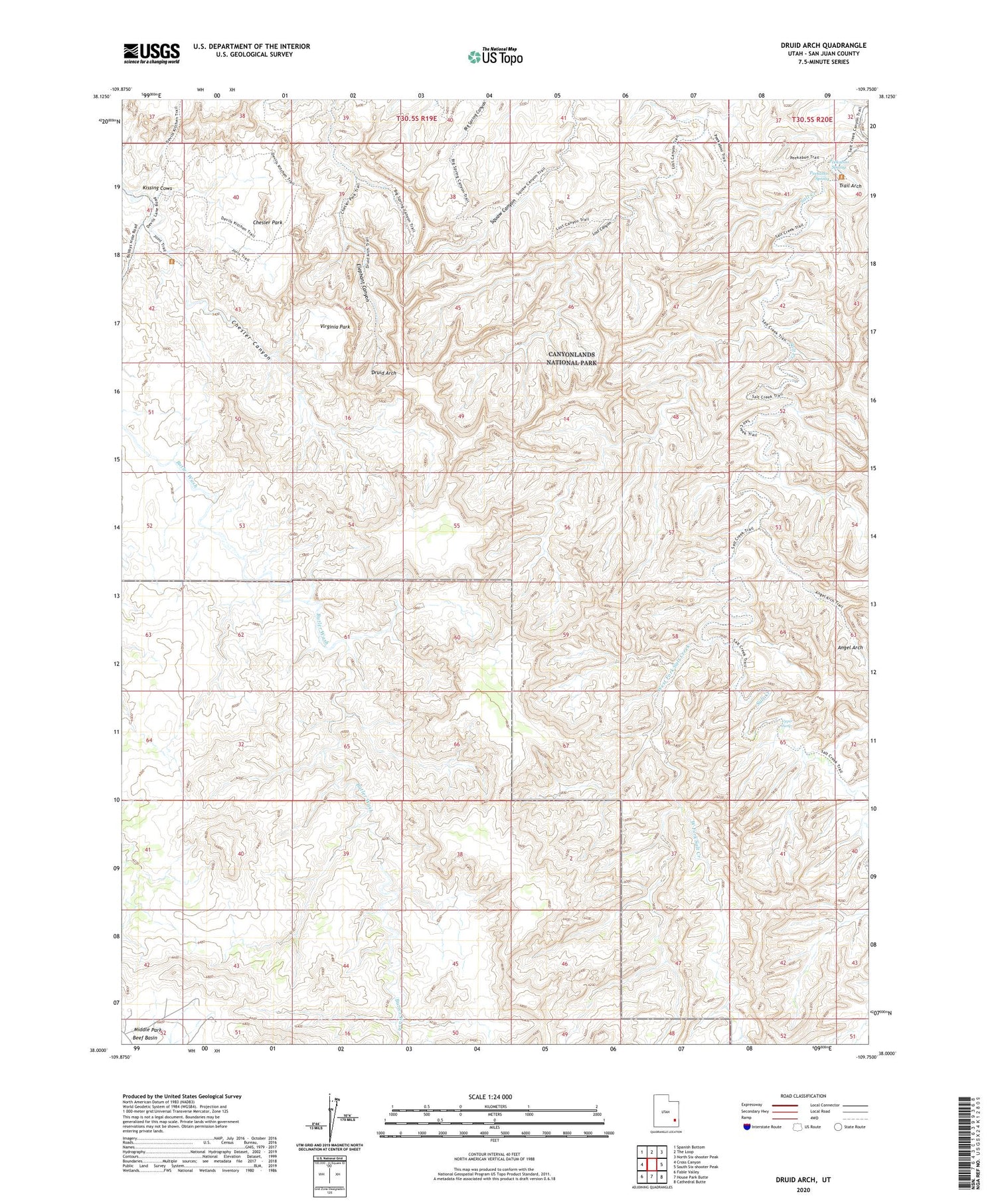
2020 topographic map quadrangle Druid Arch in the state of Utah. Scale: 1:24000. Based on the newly updated USGS 7.5' US Topo map series, this map is in the following counties: San Juan. The map contains contour data, water features, and other items you are used to seeing on USGS maps, but also has updated roads and other features. This is the next generation of topographic maps. Printed on high-quality waterproof paper with UV fade-resistant inks.
Quads adjacent to this one:
West: Cross Canyon
Northwest: Spanish Bottom
North: The Loop
Northeast: North Six-shooter Peak
East: South Six-shooter Peak
Southeast: Cathedral Butte
South: House Park Butte
Southwest: Fable Valley
Contains the following named places: Angel Arch, Chesler Park, Druid Arch, Joint Trail, Kirk Fence, Kissing Cows, Peekaboo Spring, S.O.B. Hill, The Needles, Trail Arch, Upper Jump, Virginia Park, West Fork Salt Creek


