MyTopo
South Six-shooter Peak Utah US Topo Map
Couldn't load pickup availability
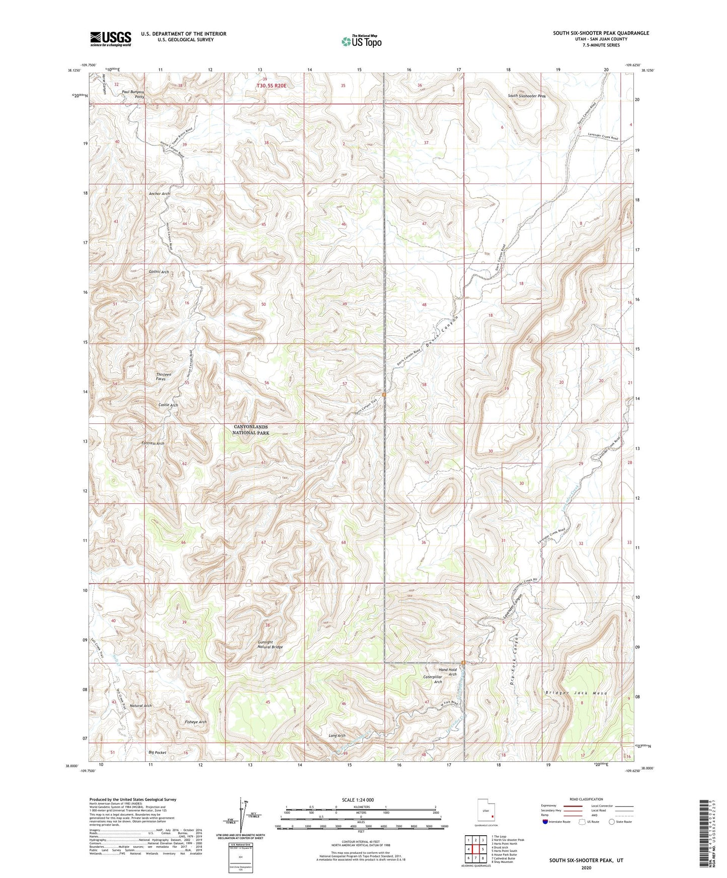
2023 topographic map quadrangle South Six-shooter Peak in the state of Utah. Scale: 1:24000. Based on the newly updated USGS 7.5' US Topo map series, this map is in the following counties: San Juan. The map contains contour data, water features, and other items you are used to seeing on USGS maps, but also has updated roads and other features. This is the next generation of topographic maps. Printed on high-quality waterproof paper with UV fade-resistant inks.
Quads adjacent to this one:
West: Druid Arch
Northwest: The Loop
North: North Six-shooter Peak
Northeast: Harts Point North
East: Harts Point South
Southeast: Shay Mountain
South: Cathedral Butte
Southwest: House Park Butte
This map covers the same area as the classic USGS quad with code o38109a6.
Contains the following named places: Anchor Arch, Castle Arch, Caterpillar Arch, Cedar Mesa, Dry Fork Canyon, Fisheye Arch, Fortress Arch, Gothic Arch, Gunsight Natural Bridge, Hand Hold Arch, Horse Canyon, Long Arch, Natural Arch, Paul Bunyans Potty, South Sixshooter Peak, Thirteen Faces, West Fork Lavender Creek