MyTopo
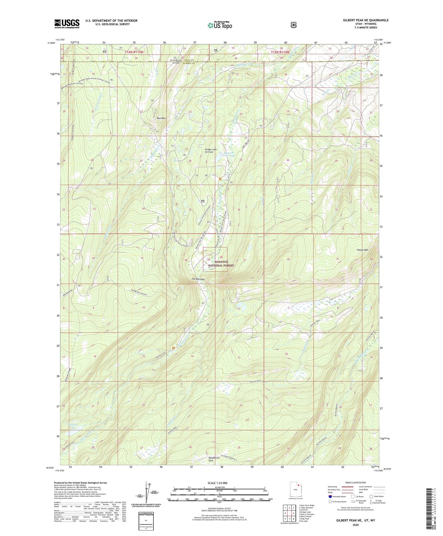
Gilbert Peak NE Utah US Topo Map
Couldn't load pickup availability
Also explore the Gilbert Peak NE Forest Service Topo of this same quad for updated USFS data
2023 topographic map quadrangle Gilbert Peak NE in the state of Utah. Scale: 1:24000. Based on the newly updated USGS 7.5' US Topo map series, this map is in the following counties: Summit, Uinta. The map contains contour data, water features, and other items you are used to seeing on USGS maps, but also has updated roads and other features. This is the next generation of topographic maps. Printed on high-quality waterproof paper with UV fade-resistant inks.
Quads adjacent to this one:
West: Bridger Lake
Northwest: Buck Fever Ridge
North: Table Mountain
Northeast: Lonetree
East: Hole In The Rock
Southeast: Fox Lake
South: Kings Peak
Southwest: Mount Powell
Contains the following named places: Alligator Lake, Bridger Lake Oil Field, Bullocks Park, Dahlgreen Creek, Deadhorse Park, Henrys Fork Campground, Henrys Fork Park, Henrys Fork Trailhead, Joulious Creek, Joulious Park, Lost Creek, Poison Mountain, Quarter Corner Lake, Red Mountain, The Narrows