
MyTopo
Grover Utah US Topo Map
Couldn't load pickup availability
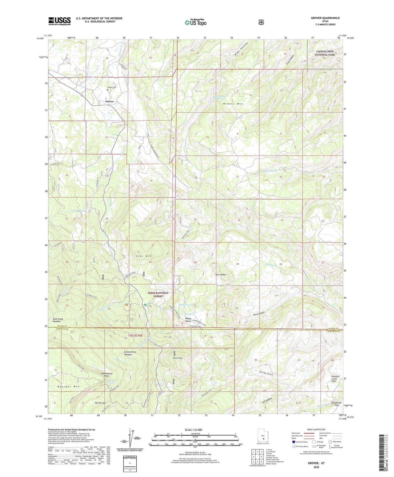
2020 topographic map quadrangle Grover in the state of Utah. Scale: 1:24000. Based on the newly updated USGS 7.5' US Topo map series, this map is in the following counties: Wayne, Garfield. The map contains contour data, water features, and other items you are used to seeing on USGS maps, but also has updated roads and other features. This is the next generation of topographic maps. Printed on high-quality waterproof paper with UV fade-resistant inks.
Quads adjacent to this one:
West: Blind Lake
Northwest: Torrey
North: Twin Rocks
Northeast: Fruita
East: Golden Throne
Southeast: Bear Canyon
South: Lower Bowns Reservoir
Southwest: Deer Creek Lake
Contains the following named places: Chipmunk Spring, Chokecherry Creek, Chokecherry Meadow, Chokecherry Point, Devils Slide, Grover, Grover Cemetery, Happy Valley, Larb Hollow, Lion Mountain, Miners Mountain, Nixon Canyon, Pleasant Creek Flats, Rock Creek, Rock Creek Meadow, Singletree Campground, Singletree Creek, The Three Brothers, Twin Peaks, Wide Hollow Reservoir, ZIP Code: 84773


