MyTopo
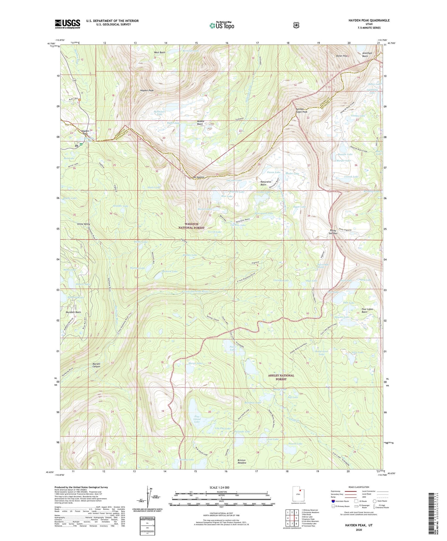
Hayden Peak Utah US Topo Map
Couldn't load pickup availability
Also explore the Hayden Peak Forest Service Topo of this same quad for updated USFS data
2023 topographic map quadrangle Hayden Peak in the state of Utah. Scale: 1:24000. Based on the newly updated USGS 7.5' US Topo map series, this map is in the following counties: Duchesne, Summit. The map contains contour data, water features, and other items you are used to seeing on USGS maps, but also has updated roads and other features. This is the next generation of topographic maps. Printed on high-quality waterproof paper with UV fade-resistant inks.
Quads adjacent to this one:
West: Mirror Lake
Northwest: Whitney Reservoir
North: Christmas Meadows
Northeast: Red Knob
East: Explorer Peak
Southeast: Tworoose Pass
South: Grandaddy Lake
Southwest: Iron Mine Mountain
This map covers the same area as the classic USGS quad with code o40110f7.
Contains the following named places: Allen Lake, Amy Lake, Bedground Lake, Blue Lake, Blythe Lake, Brooks Lake, Bud Lake, Butterfly Campground, Butterfly Lake, Carolyn Lake, Dale Lake, Daynes Lake, Dean Lake, East Fork Duchesne River, East Fork Pinto Lake Trail, Evermann Lake, Farney Lake, Faxon Lake, Fish Hatchery Lake, Four Lakes Basin, Gatman Lake, Gladys Lake, Governor Dern Lake, Hayden Pass, Hayden Peak, Highline Trail, Highline Trail Head Campground, Hoover Lake, Hyatt Lake, Jean Lake, Jeff Lake, Jordan Lake, Kermsuh Lake, LeConte Lake, Lightning Lake, Lily Pad Lake, Lost Lake, Maba Lake, Margie Lake, Margo Lake, Marsell Canyon, Marshall Lake, McPheters Lake, Middle Basin, Morat Lakes, Mount Agassiz, Naturalist Basin, Olga Lake, Ostler Peak, Packard Lake, Palisade Lake, Pigeon Milk Spring, Pine Island Lake, Pinto Lake, Powell Lake, Rainbow Lake, Range Lake, Rocky Sea Pass, Rosalie Lake, Ryder Lake, Scudder Lake, Shale Lake, Shaler Lake, Skinner Cutoff Trail, Spread Eagle Peak, Uintah Lake, Verrill Lake, Walcott Lake, Wilder Lake, Wyman Lake