MyTopo
Ingham Canyon Utah US Topo Map
Couldn't load pickup availability
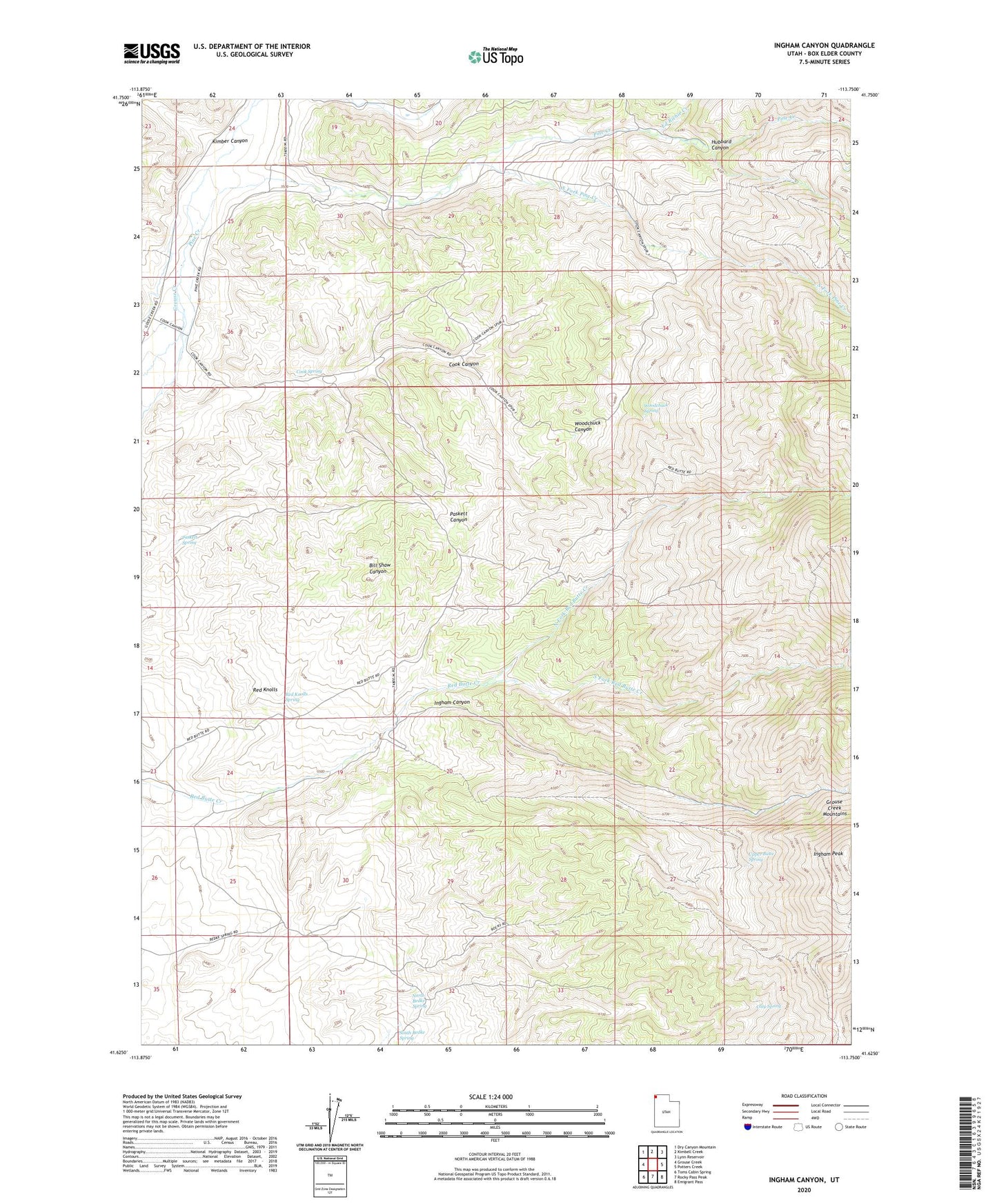
2023 topographic map quadrangle Ingham Canyon in the state of Utah. Scale: 1:24000. Based on the newly updated USGS 7.5' US Topo map series, this map is in the following counties: Box Elder. The map contains contour data, water features, and other items you are used to seeing on USGS maps, but also has updated roads and other features. This is the next generation of topographic maps. Printed on high-quality waterproof paper with UV fade-resistant inks.
Quads adjacent to this one:
West: Grouse Creek
Northwest: Dry Canyon Mountain
North: Kimbell Creek
Northeast: Lynn Reservoir
East: Potters Creek
Southeast: Emigrant Pass
South: Rocky Pass Peak
Southwest: Toms Cabin Spring
This map covers the same area as the classic USGS quad with code o41113f7.
Contains the following named places: Clay Spring, Cook Spring, Ed Richie Creek, Grouse Creek Mountains, Hubbard Canyon, Hubbard Grove, Ingham Canyon, Ingham Peak, Kimbell Creek, Kimber Canyon, North Bedke Spring, North Fork Red Butte Creek, Paskett Spring, Pine Creek, Red Knolls, Red Knolls Spring, South Bedke Spring, South Fork Pine Creek, South Fork Red Butte Creek, Upper Butte Spring, Woodchuck Canyon, Woodchuck Spring