
MyTopo
Jug Rock Utah US Topo Map
Couldn't load pickup availability
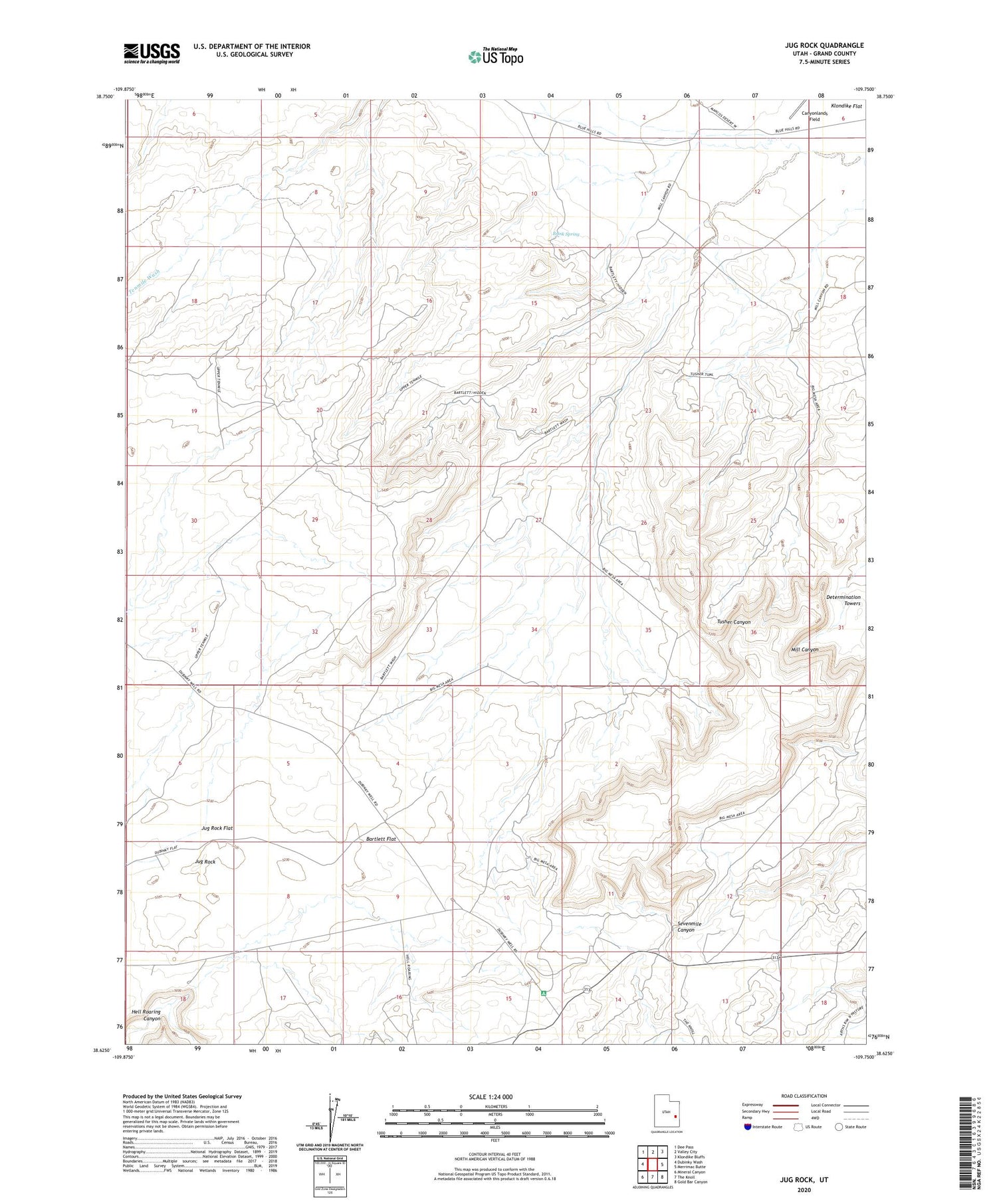
2020 topographic map quadrangle Jug Rock in the state of Utah. Scale: 1:24000. Based on the newly updated USGS 7.5' US Topo map series, this map is in the following counties: Grand. The map contains contour data, water features, and other items you are used to seeing on USGS maps, but also has updated roads and other features. This is the next generation of topographic maps. Printed on high-quality waterproof paper with UV fade-resistant inks.
Quads adjacent to this one:
West: Dubinky Wash
Northwest: Dee Pass
North: Valley City
Northeast: Klondike Bluffs
East: Merrimac Butte
Southeast: Gold Bar Canyon
South: The Knoll
Southwest: Mineral Canyon
Contains the following named places: Bartlett Flat, Brink Spring, Determination Towers, Jug Rock, Jug Rock Flat, Lone Mesa


