MyTopo
Keg Knoll Utah US Topo Map
Couldn't load pickup availability
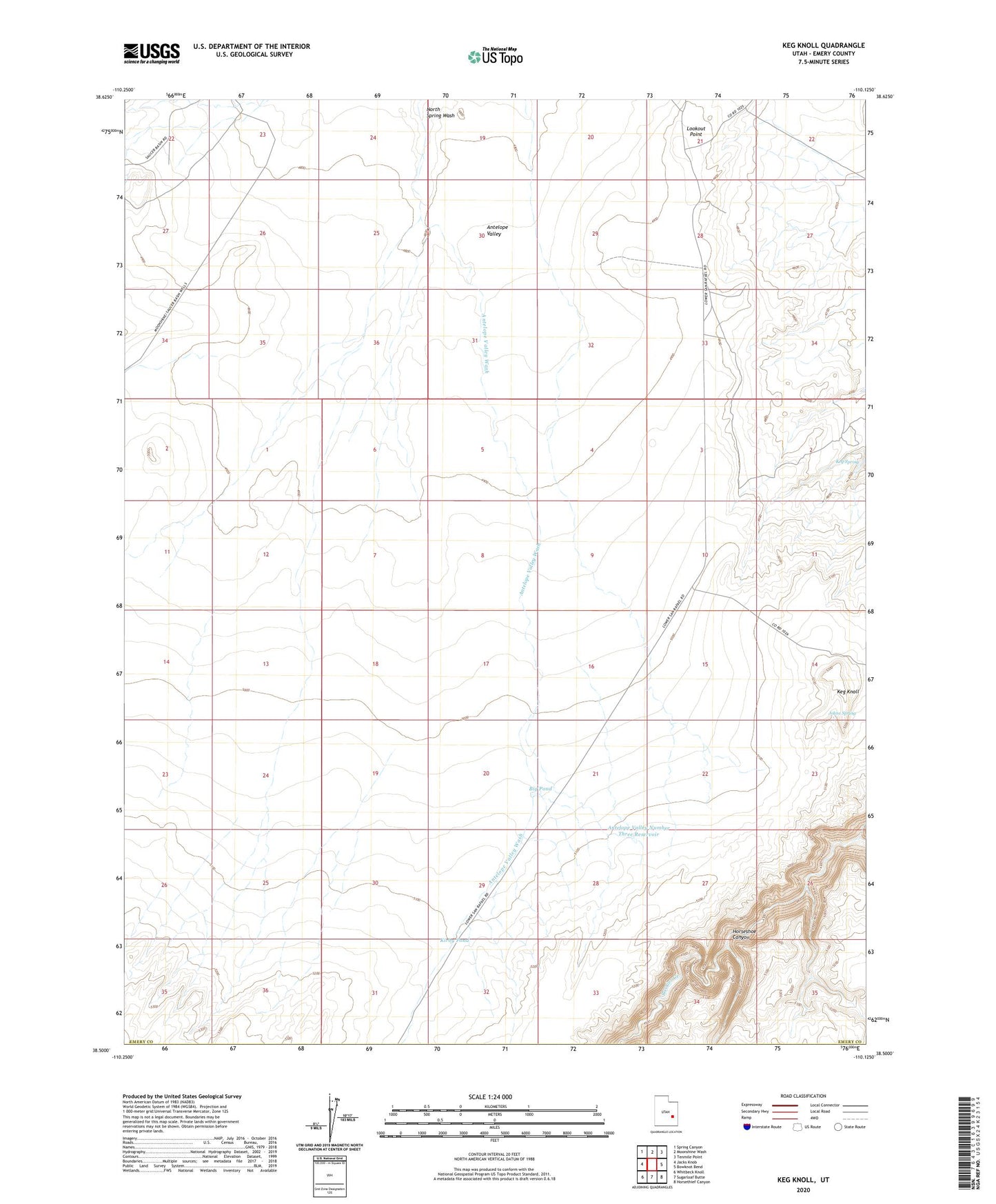
2023 topographic map quadrangle Keg Knoll in the state of Utah. Scale: 1:24000. Based on the newly updated USGS 7.5' US Topo map series, this map is in the following counties: Emery. The map contains contour data, water features, and other items you are used to seeing on USGS maps, but also has updated roads and other features. This is the next generation of topographic maps. Printed on high-quality waterproof paper with UV fade-resistant inks.
Quads adjacent to this one:
West: Jacks Knob
Northwest: Spring Canyon
North: Moonshine Wash
Northeast: Tenmile Point
East: Bowknot Bend
Southeast: Horsethief Canyon
South: Sugarloaf Butte
Southwest: Whitbeck Knoll
This map covers the same area as the classic USGS quad with code o38110e2.
Contains the following named places: Antelope Valley, Antelope Valley Number Three Reservoir, Antelope Valley Wash, Big Pond, Johns Spring, Keg Knoll, Keg Spring, Kirby Pond, Lookout Point, Saucer Basin Well