MyTopo
Knowles Canyon Utah US Topo Map
Couldn't load pickup availability
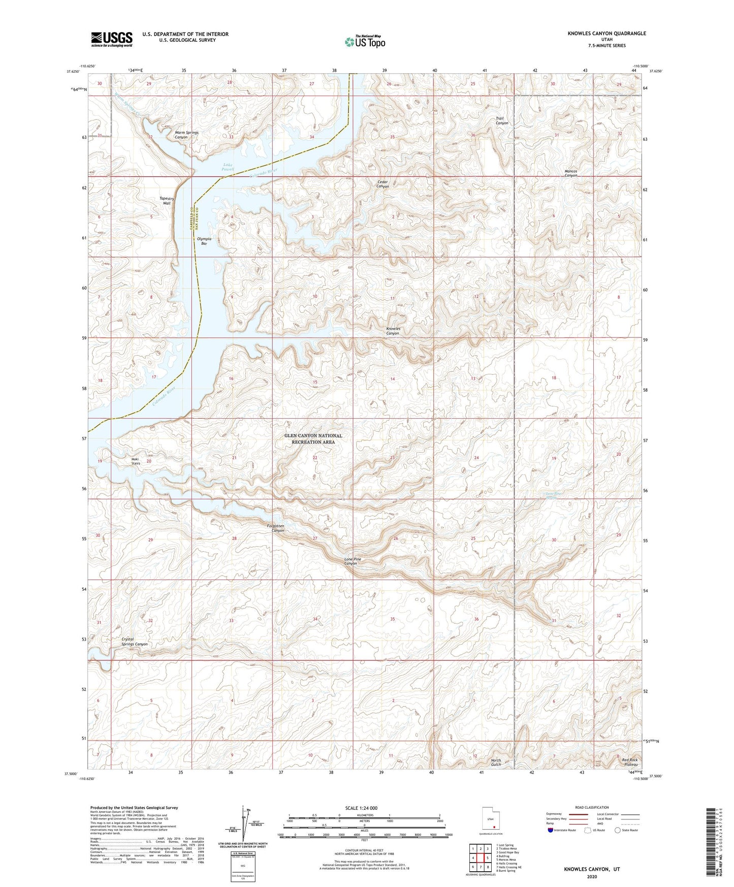
2023 topographic map quadrangle Knowles Canyon in the state of Utah. Scale: 1:24000. Based on the newly updated USGS 7.5' US Topo map series, this map is in the following counties: San Juan, Garfield. The map contains contour data, water features, and other items you are used to seeing on USGS maps, but also has updated roads and other features. This is the next generation of topographic maps. Printed on high-quality waterproof paper with UV fade-resistant inks.
Quads adjacent to this one:
West: Bullfrog
Northwest: Lost Spring
North: Ticaboo Mesa
Northeast: Good Hope Bay
East: Mancos Mesa
Southeast: Burnt Spring
South: Halls Crossing NE
Southwest: Halls Crossing
This map covers the same area as the classic USGS quad with code o37110e5.
Contains the following named places: Cedar Canyon, Forgotten Canyon, Knowles Canyon, Lone Pine Canyon, Lone Pine Spring, Mancos Canyon, Moki Stairs, Olympia Bar, Tapestry Wall, Trail Canyon, Warm Springs Canyon, Warm Springs Creek