MyTopo
Lockhart Basin Utah US Topo Map
Couldn't load pickup availability
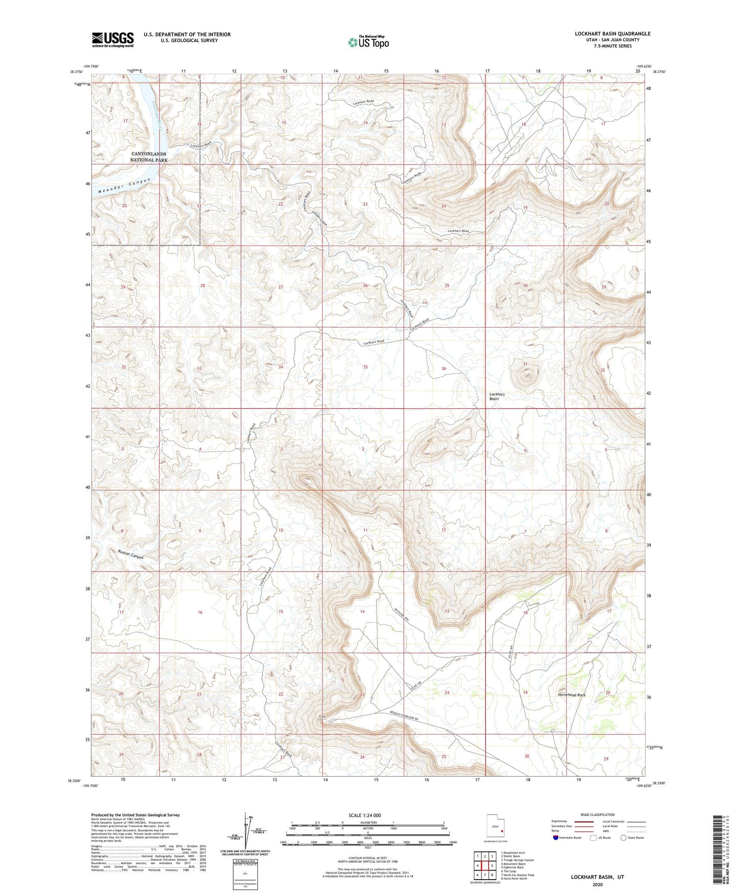
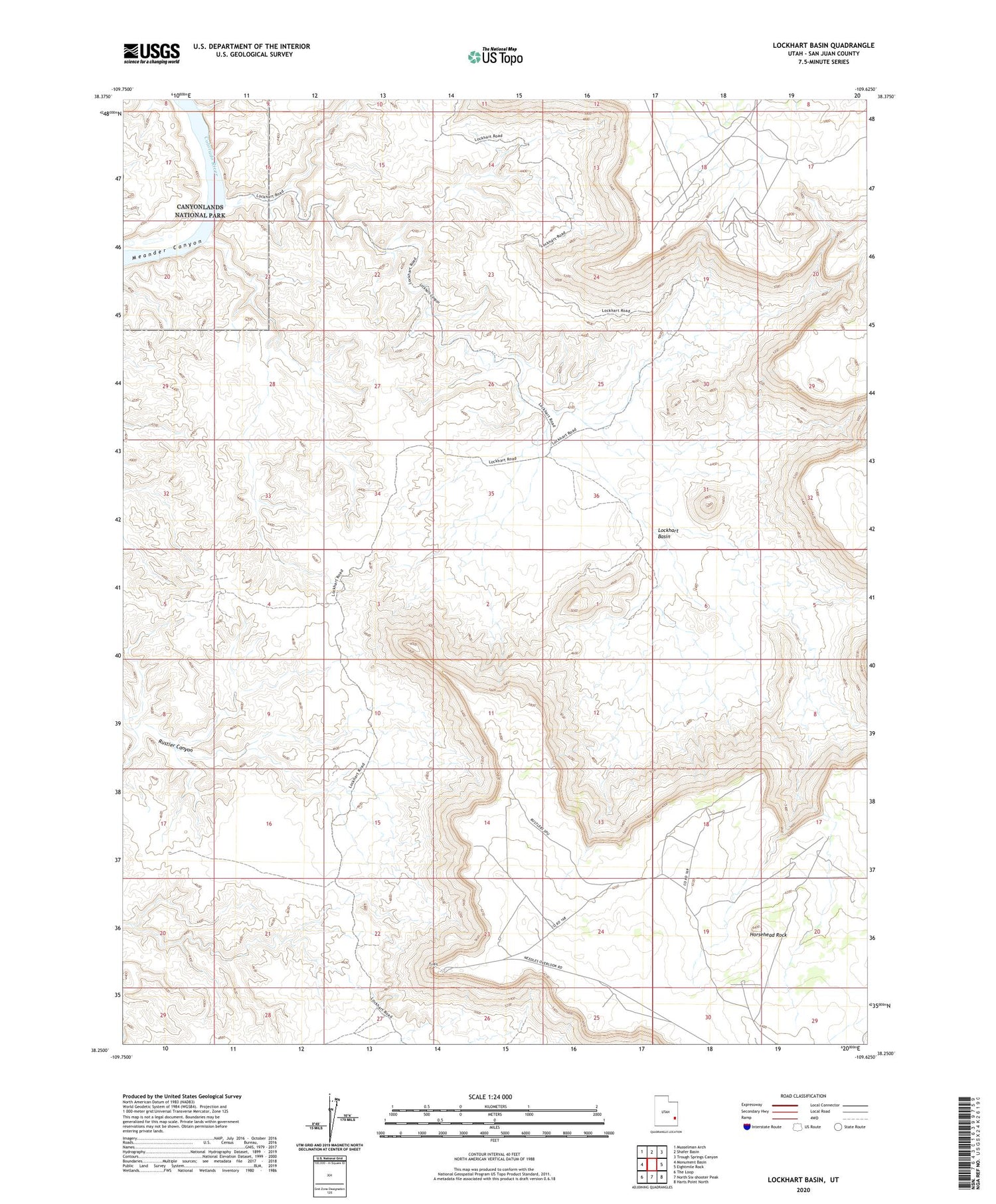
2020 topographic map quadrangle Lockhart Basin in the state of Utah. Scale: 1:24000. Based on the newly updated USGS 7.5' US Topo map series, this map is in the following counties: San Juan. The map contains contour data, water features, and other items you are used to seeing on USGS maps, but also has updated roads and other features. This is the next generation of topographic maps. Printed on high-quality waterproof paper with UV fade-resistant inks.
Quads adjacent to this one:
West: Monument Basin
Northwest: Musselman Arch
North: Shafer Basin
Northeast: Trough Springs Canyon
East: Eightmile Rock
Southeast: Harts Point North
South: North Six-shooter Peak
Southwest: The Loop
Contains the following named places: Horsehead Rock, Horsethief Canyon, Lockhart Basin, Lockhart Canyon, The Needles Overlook