MyTopo
Trough Springs Canyon Utah US Topo Map
Couldn't load pickup availability
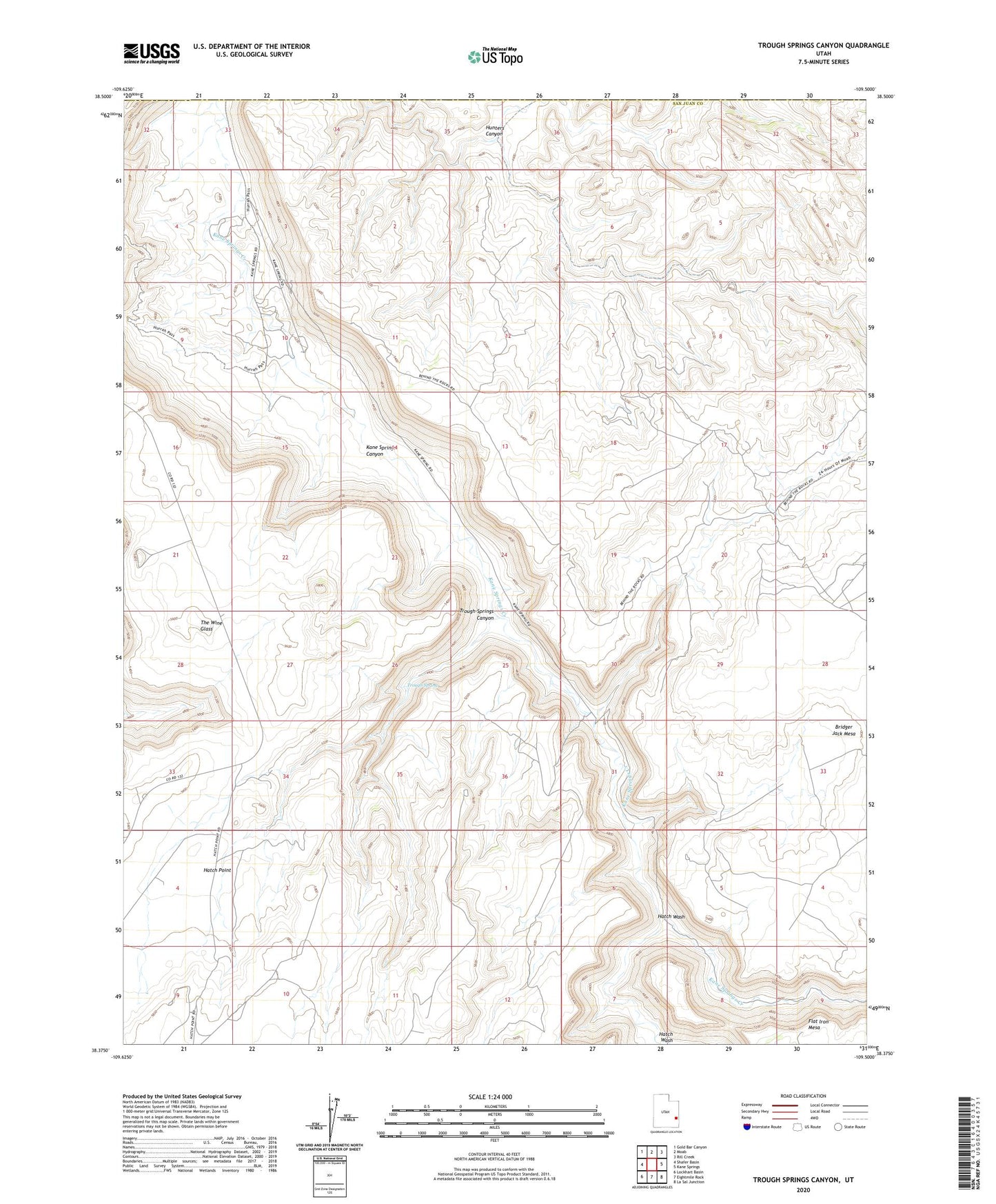
2023 topographic map quadrangle Trough Springs Canyon in the state of Utah. Scale: 1:24000. Based on the newly updated USGS 7.5' US Topo map series, this map is in the following counties: San Juan, Grand. The map contains contour data, water features, and other items you are used to seeing on USGS maps, but also has updated roads and other features. This is the next generation of topographic maps. Printed on high-quality waterproof paper with UV fade-resistant inks.
Quads adjacent to this one:
West: Shafer Basin
Northwest: Gold Bar Canyon
North: Moab
Northeast: Rill Creek
East: Kane Springs
Southeast: La Sal Junction
South: Eightmile Rock
Southwest: Lockhart Basin
This map covers the same area as the classic USGS quad with code o38109d5.
Contains the following named places: Hatch Point Campground, Hatch Wash, The Wine Glass, Trough Spring, Trough Springs Canyon