MyTopo
Logan Utah US Topo Map
Couldn't load pickup availability
Also explore the Logan Forest Service Topo of this same quad for updated USFS data
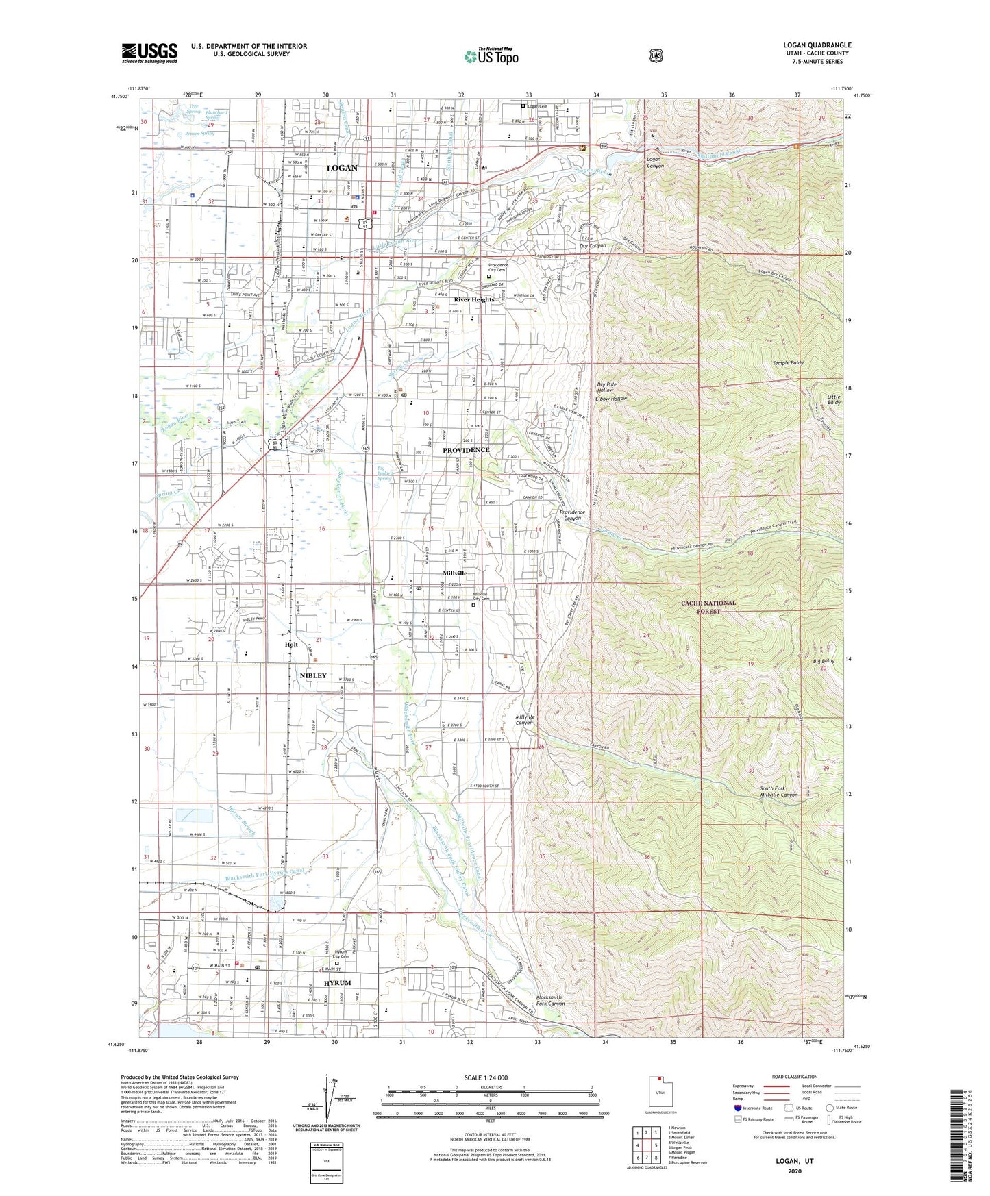
2023 topographic map quadrangle Logan in the state of Utah. Scale: 1:24000. Based on the newly updated USGS 7.5' US Topo map series, this map is in the following counties: Cache. The map contains contour data, water features, and other items you are used to seeing on USGS maps, but also has updated roads and other features. This is the next generation of topographic maps. Printed on high-quality waterproof paper with UV fade-resistant inks.
Quads adjacent to this one:
West: Wellsville
Northwest: Newton
North: Smithfield
Northeast: Mount Elmer
East: Logan Peak
Southeast: Porcupine Reservoir
South: Paradise
Southwest: Mount Pisgah
This map covers the same area as the classic USGS quad with code o41111f7.
Contains the following named places: Adams Elementary School, Benson Canal, Big Baldy, Big Ballard Spring, Blacksmith Fork, Blacksmith Fork Canyon, Blacksmith Fork Hyrum Canal, Blacksmith Fork Nibley Canal, Blanchard Spring, Cache County Emergency Medical Services Hyrum, Cache County Emergency Medical Services Logan, Cache County Fire District Office, Cache County Sheriff's Office, Church of Christ, City of Hyrum, City of Logan, City of Millville, City of Nibley, City of Providence, City of River Heights, Dry Canyon, Dry Pole Hollow, Edith Bowan Laboratory School, Elbow Hollow, Ellis Elementary School, Emporium Shopping Center, First Presbyterian Church, Fourth North Shopping Center, Hells Kitchen, Hillcrest Elementary School, Holt, Holy Trinity Lutheran Church, Hyde Park Canal, Hyrum, Hyrum City Cemetery, Hyrum City Fire Department, Hyrum Post Office, Jensen Spring, KBLQ-AM (Logan), KBLQ-FM (Logan), KMXL-FM (Logan), Lincoln Elementary School, Little Baldy, Little Ballard Creek, Logan, Logan Canyon, Logan Cemetery, Logan City Police Department, Logan Country Club, Logan Division, Logan Fire Department Station 70, Logan Fish Hatchery, Logan High School, Logan Intermountain Forest and Ranger Experiment Station, Logan Post Office, Logan Post Office - Utah State University Station, Logan Temple, Maranatha Baptist Church, Miller Brothers Feedyard, Millville, Millville - Nibley First Responders, Millville Canyon, Millville City Cemetery, Millville Elementary School, Millville Face Wildlife Management Area, Millville Post Office, Millville Providence Canal, Mount Logan Middle School, Mountain Crest High School, Nibley, Northern Canal, Providence, Providence Canyon, Providence City Cemetery, Providence Elementary School, Providence Post Office, River Heights, River Heights Elementary School, Riverside Preschool, Saint Johns Episcopal Church, Settlement Fort, Smithfield Canal, South Cache High School, South Fork Millville Canyon, Spring Creek, Spring Creek Middle School, State Dam, Temple Baldy, The Church of Jesus Christ of Latter Day Saints, The Tower, Tree Spring, Utah Highway Patrol Section 1 Logan Office, Utah State University, Utah Water Research Lab, Wellsville Canal, Western Park Campground, Whittier School, Willow Park, Wilson Elementary School, Woodruff Elementary School, ZIP Codes: 84321, 84326, 84332


