MyTopo
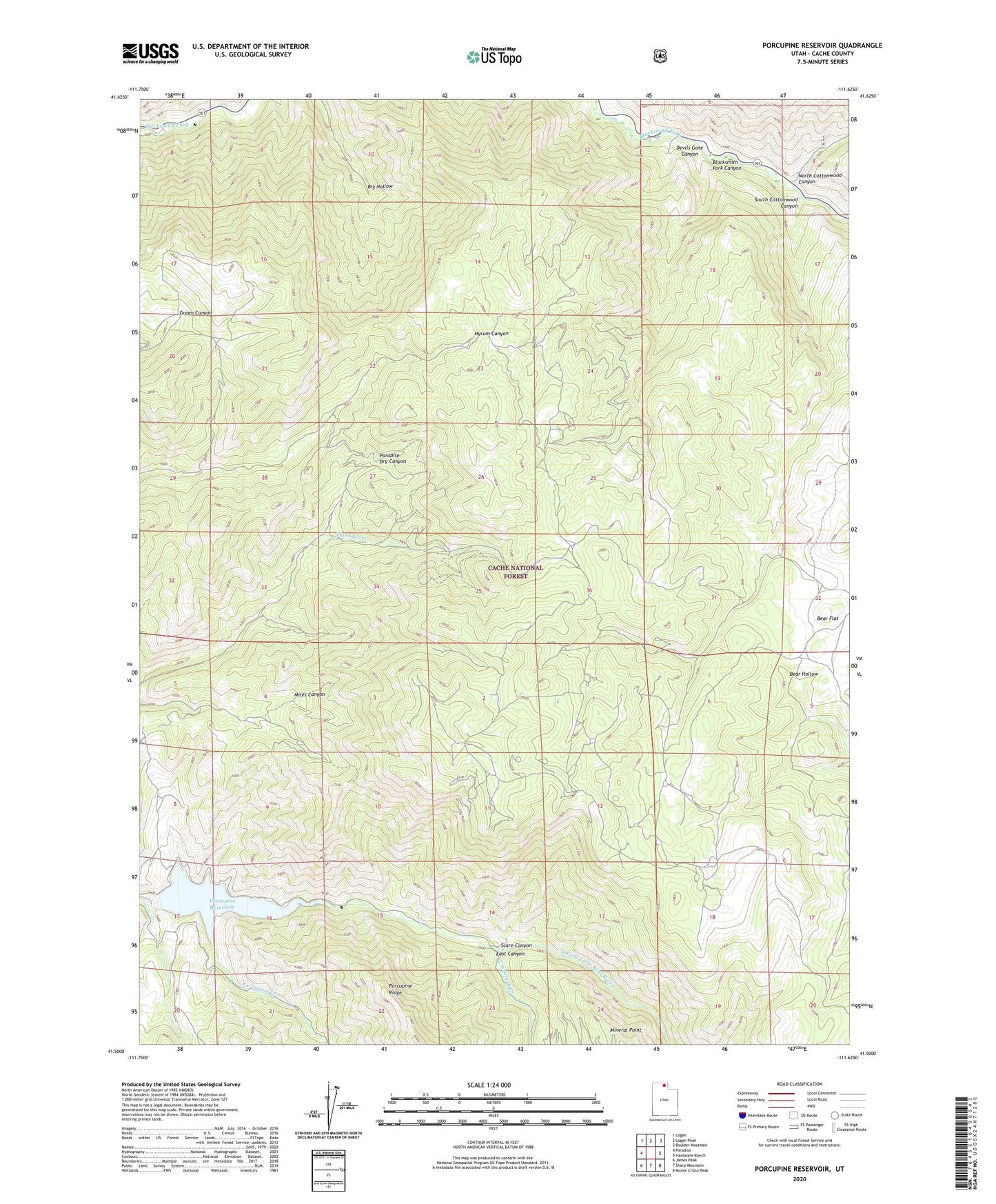
Porcupine Reservoir Utah US Topo Map
Couldn't load pickup availability
Also explore the Porcupine Reservoir Forest Service Topo of this same quad for updated USFS data
2023 topographic map quadrangle Porcupine Reservoir in the state of Utah. Scale: 1:24000. Based on the newly updated USGS 7.5' US Topo map series, this map is in the following counties: Cache. The map contains contour data, water features, and other items you are used to seeing on USGS maps, but also has updated roads and other features. This is the next generation of topographic maps. Printed on high-quality waterproof paper with UV fade-resistant inks.
Quads adjacent to this one:
West: Paradise
Northwest: Logan
North: Logan Peak
Northeast: Boulder Mountain
East: Hardware Ranch
Southeast: Monte Cristo Peak
South: Sharp Mountain
Southwest: James Peak
This map covers the same area as the classic USGS quad with code o41111e6.
Contains the following named places: Bear Flat, Cinnamon Creek, Cooks Cabin, Devils Gate Canyon, East Pole Creek, North Cottonwood Canyon, Porcupine Creek, Porcupine Dam, Porcupine Reservoir, Scare Canyon, South Cottonwood Canyon, Third Fork, West Pole Creek, ZIP Code: 84319